


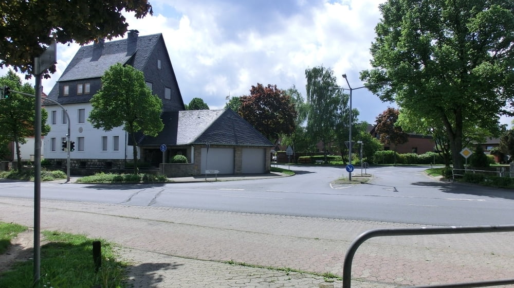
Start ist das VW Bad
dann geht's es Richtung Stadtwald,
nach Barnstorf, Richtung Neindorf,
bei Almke bei der Tankstelle geht's rechts denn Feldweg rein,
bis wir den Tunnel A2 unterqueren rechts nach Ochsendorf fahren.
Durch Ochsendorf fahren wir Richtung Königslutter dann geht's es gleich rechts rein.
Dann geht's eigentlich nur noch auf Waldwegen Richtung Königslutter.
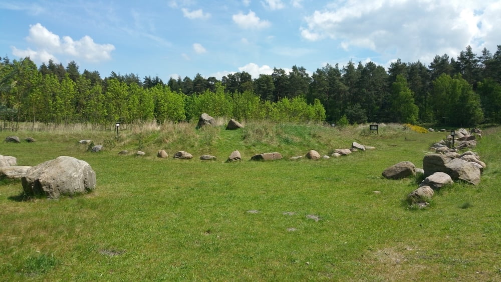
Auf dem Weg liegt links im Wald noch der Findlingsgarten,
denn kann man sich dann auf dem Rückweg anschauen.
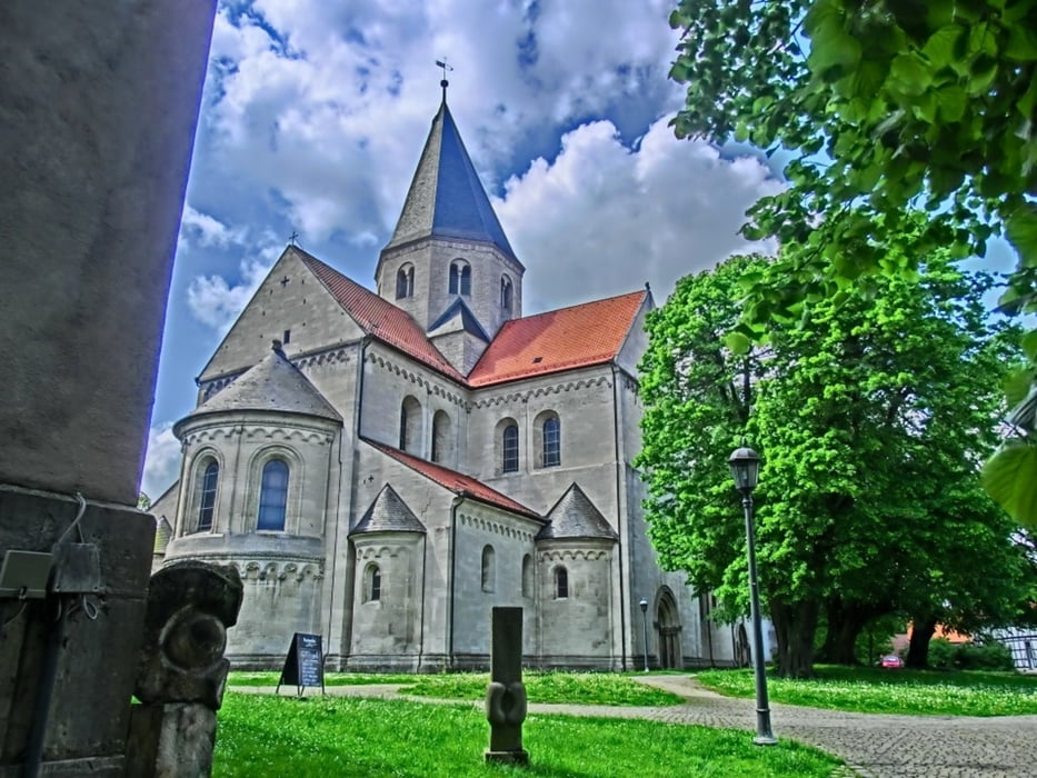
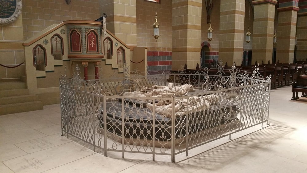
In Königslutter an der BS Str. kommen wir raus,
dann noch die Straße hoch fahren bis zum Kaiserdom.
Further information at
http://www.wolfsburg-gps-tour.deGaleria trasy
Mapa trasy i profil wysokości
Minimum height
Maximum height 156 m
More about the tour author
|
|
KlausWob |
Komentarze

Diese Tour und weitere
befinden sich beschrieben auf
meiner Homepage unter
Meine MTB Touren
unter
http://www.wolfsburg-gps-tour.de
viel spaß beim nachfahren
von Klaus
GPS tracks
Trackpoints-
GPX / Garmin Map Source (gpx) download
-
TCX / Garmin Training Center® (tcx) download
-
CRS / Garmin Training Center® (crs) download
-
Google Earth (kml) download
-
G7ToWin (g7t) download
-
TTQV (trk) download
-
Overlay (ovl) download
-
Fugawi (txt) download
-
Kompass (DAV) Track (tk) download
-
Karta trasy (pdf) download
-
Original file of the author (gpx) download
More about the tour author
|
|
KlausWob |
Add to my favorites
Remove from my favorites
Edit tags
Open track
My score
Rate