


Start und Ziel
ist diesmal in Ochsendorf die Alte Dorfstraße,
wo der Tunnel unter der A2 verläuft.
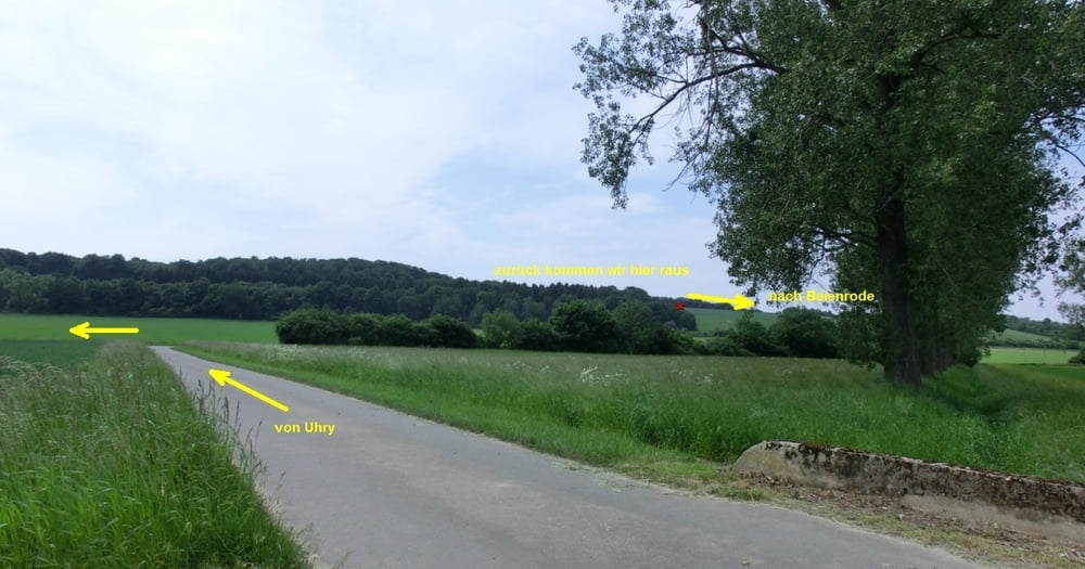
Danach geht's es Richtung Uhry,
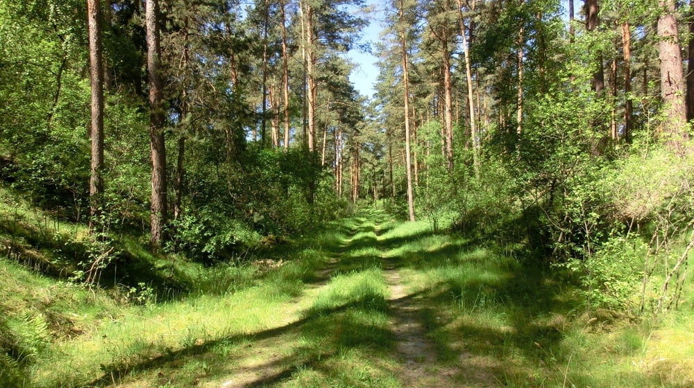
danach geht's es in das Waldgebiet Dorm.
Es gibt paar steile Anstiege.
Habe hier die Tour so abgefahren,
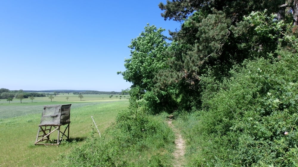
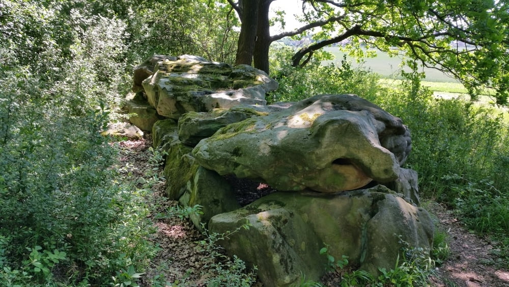
das wir zum Großsteingrab bei Gross Steinum kommem
mit herlichen Blick auf Elm, Königslutter usw.
Danach fahren wir wieder zurück bis zum WP 11 Hin+Zurück
Bis wir in Beienrode rauskommen,
wir folgen den Track bis zum Ausichtsturm Schunteraue.
Dann haben wir die Tour fast geschaft......
Further information at
http://www.wolfsburg-gps-tour.deGaleria trasy
Mapa trasy i profil wysokości
Minimum height 92 m
Maximum height 173 m
More about the tour author
|
|
KlausWob |
Komentarze

Diese Tour und weitere
befinden sich beschrieben auf
meiner Homepage unter
Meine MTB Touren
unter
http://www.wolfsburg-gps-tour.de
viel spaß beim nachfahren
von Klaus
GPS tracks
Trackpoints-
GPX / Garmin Map Source (gpx) download
-
TCX / Garmin Training Center® (tcx) download
-
CRS / Garmin Training Center® (crs) download
-
Google Earth (kml) download
-
G7ToWin (g7t) download
-
TTQV (trk) download
-
Overlay (ovl) download
-
Fugawi (txt) download
-
Kompass (DAV) Track (tk) download
-
Karta trasy (pdf) download
-
Original file of the author (gpx) download
More about the tour author
|
|
KlausWob |
Add to my favorites
Remove from my favorites
Edit tags
Open track
My score
Rate