


Radour -Altmühltal
Unsere Radtour im Altmühltal.
45 km - 4h mit Pausen
Wir starten am Campingplatz Kratzmühle.
Wir fahren Richtung Kirchanhausen und weiter nach Beilngries.
Hier nehmen wir das das Nachbartal und fahren direkt am Donau-Main-Kanal über Ottmaring nach Dietfurt an der Altmühl.
Hier genehmigen wir uns ein Eis und ein Radler und dann geht es zurück.
Jetzt auf dem Altmühlradweg geht es über Töging und Kottingwörth wieder nach Beilngries.
Über Praundorf nach Kinding. Hier gibt es Kaffee.
Über Unteremmendorf geht es schließlich zurück zum Kratzmühlsee (= Praundorfer See).
Fazit:
- feine Radrunde
- empfehlenswert
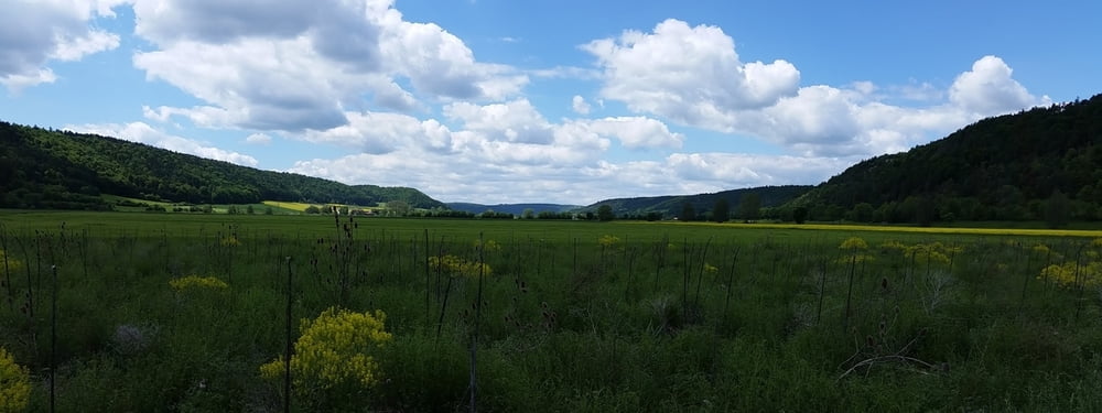
Galeria trasy


Mapa trasy i profil wysokości
Minimum height 360 m
Maximum height 402 m
More about the tour author
|
|
Stummi |
Komentarze

GPS tracks
Trackpoints-
GPX / Garmin Map Source (gpx) download
-
TCX / Garmin Training Center® (tcx) download
-
CRS / Garmin Training Center® (crs) download
-
Google Earth (kml) download
-
G7ToWin (g7t) download
-
TTQV (trk) download
-
Overlay (ovl) download
-
Fugawi (txt) download
-
Kompass (DAV) Track (tk) download
-
Karta trasy (pdf) download
-
Original file of the author (gpx) download
More about the tour author
|
|
Stummi |
Add to my favorites
Remove from my favorites
Edit tags
Open track
My score
Rate