


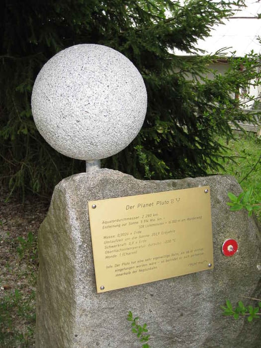
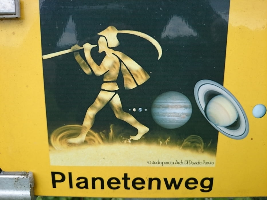
... und das ist natürlich nur möglich im Maßstab 1:3,69 x 10 hoch 8! Und zwar ausgehend von Freistadt bis nach Sandl. Die Tour folgt dem Planetenwanderweg.
Further information at
http://www.freistadt.at/planetenweg/home/weg.htmGaleria trasy


Mapa trasy i profil wysokości
Minimum height 550 m
Maximum height 1024 m
More about the tour author
|
|
rjkas |
Komentarze
Derzeit wird man wohl die B310 nach Freistadt wählen. Je nachdem, von wo man kommt... Gratis Parken ist am Schotterparkplatz hinter dem McDonalds möglich.
GPS tracks
Trackpoints-
GPX / Garmin Map Source (gpx) download
-
TCX / Garmin Training Center® (tcx) download
-
CRS / Garmin Training Center® (crs) download
-
Google Earth (kml) download
-
G7ToWin (g7t) download
-
TTQV (trk) download
-
Overlay (ovl) download
-
Fugawi (txt) download
-
Kompass (DAV) Track (tk) download
-
Karta trasy (pdf) download
-
Original file of the author (gpx) download
More about the tour author
|
|
rjkas |
Add to my favorites
Remove from my favorites
Edit tags
Open track
My score
Rate
Empfehlenswert
Wirklich interessant aber erst nach ca. 14KM.
Ca. 5KM Wiese bergauf. Ist schwer zu fahren, wenn es geregnet hat.
Danke
Wiederum eine tolle Tour von dir!
Besonders für Frühjahrsausfahrten aufgrund der vielen Wiesenweganteile zu empfehlen. Endlich hab ichs mit dieser Tour auch mal zu den Spörbichler Windrädern geschafft, und die Abfahrt auf Grünbach (der steile Schotterweg) war sehr geil. Danke schön!