Login

Zapomniałeś swój login?

Cookies have to be accepted!
Your browser's cookie functionality is disabled. Please enable this functionality.

Not a member yet?

Register now
Login

Available for registred users only

Log in to use this feature.

Zapomniałeś swój login?

Cookies have to be accepted!
Your browser's cookie functionality is disabled. Please enable this functionality.

Not a member yet?

Register now
Filter
Kategorie
Advanced filters
  • Długość (km)
  • Wysokość
Zapisz filtr Reset filter

TrackRank

QRCode

Technical data

Długość20,4 km Wysokość804 m Way down809 m Czas trwania05:30 h:m Data03.06.2017
Oceny Author Krajobraz Czynnik zadowolenia Kondycja Technika

Statystyka

91 Widoki Oceny 15 Downloads / Pliki do pobrania Przeciętnie
Rate
  • Karta trasy
  • Dojazd
  • Downloads / Pliki do pobrania
round trip from Bad Gastein to Poserhöhe, a mountain cabin with beverages and meals, then through the forest, to near Hofgastein village, but back on a famous wide trail with nice impressions. possible in both directions. Nice easy walk in lonesome forests, on gravel roads without traffic, trail with high frequency und several coffee shops with cakes. This tour can get combined with others I upload here. Take it all and see on Garmin basecamp. 
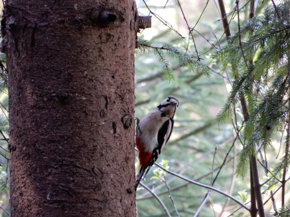
Galeria trasy

Mapa trasy i profil wysokości

  • Open Street Map
  • Google
Minimum height 942 m Maximum height 1518 m Widok szczegółowy

More about the tour author

oldienotgoldie
Member since 2017

Send private message

Komentarze

GPS tracks

Trackpoints
  • GPX / Garmin Map Source (gpx) download
  • TCX / Garmin Training Center® (tcx) download
  • CRS / Garmin Training Center® (crs) download
  • Google Earth (kml) download
  • G7ToWin (g7t) download
  • TTQV (trk) download
  • Overlay (ovl) download
  • Fugawi (txt) download
  • Kompass (DAV) Track (tk) download
  • Karta trasy (pdf) download
  • Original file of the author (gpx) download

More about the tour author

oldienotgoldie
Member since 2017

Send private message
Share track
Add to my favorites
Remove from my favorites
Edit tags
My score
Rate
Trasa: Poserhöhe, Hofgastein, Höhenweg
Rodzaj: Wędrówki
Długość: 20,4 km
Evaluated on:
Czas trwania:
Day(s)
Hour(s)
Minute(s)
Ocena: Krajobraz Czynnik zadowolenia Kondycja Technika