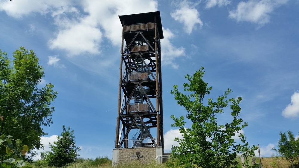
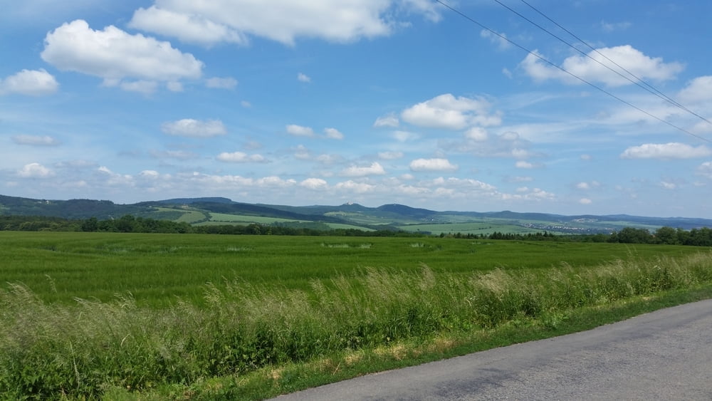
Rundweg von Uherské Hradiště zu Polešovic, wo die Muskat Rebe angebaut wird. Weiter durch das Dorf Tučapy, Aussichtsplatform Florianka, Boršice, Zlechov und Stare Mesto (Denkmal der Mährischen Reich und Baťův kanál)
Further information at
http://www.jizni-morava.cz/objekt/36495-stezka-muskatu-moravskehoGaleria trasy
Mapa trasy i profil wysokości
Minimum height 172 m
Maximum height 353 m
Komentarze

Rundweg, gute Zug- und Busverbindungen nach Uherske Hradiste.
GPS tracks
Trackpoints-
GPX / Garmin Map Source (gpx) download
-
TCX / Garmin Training Center® (tcx) download
-
CRS / Garmin Training Center® (crs) download
-
Google Earth (kml) download
-
G7ToWin (g7t) download
-
TTQV (trk) download
-
Overlay (ovl) download
-
Fugawi (txt) download
-
Kompass (DAV) Track (tk) download
-
Karta trasy (pdf) download
-
Original file of the author (gpx) download
Add to my favorites
Remove from my favorites
Edit tags
Open track
My score
Rate


