


Diesmal geht die Radtour zu - Der Bilderrahmen
von Wolfsburg nach Braunschweig zum Raffteich
Start ist in Wolfsburg am Salzteich.
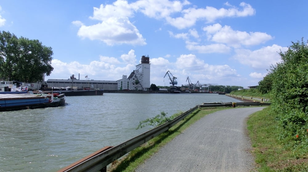
Wir fahren von Wolfsburg entlang am Mittellandkanal bis Braunschweig.
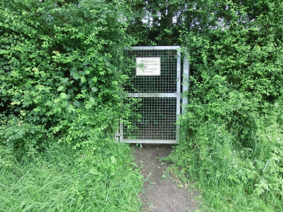
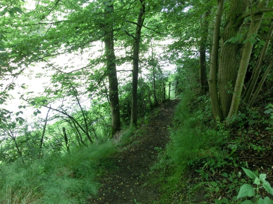
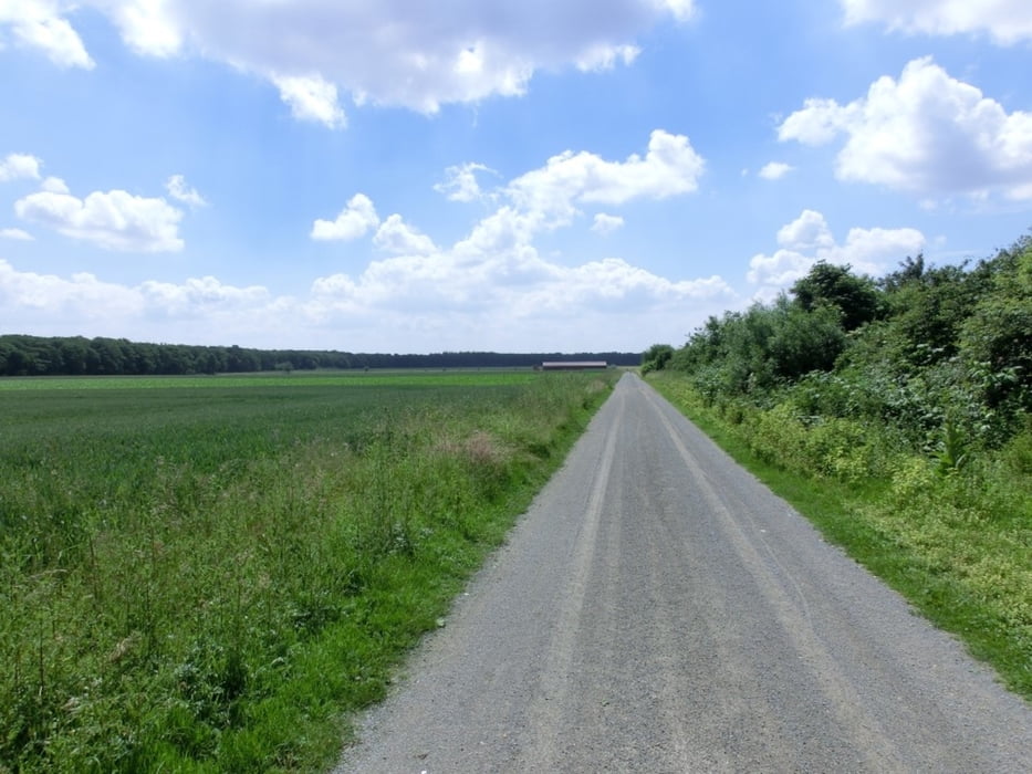
Dann geht's es bei Bortfeld enlang nach Lamme
nur auf Wirtschaftswegen zum Raffteich.
Das Ziel ist
Der Bilderrahmen
die weiteren Kunstobjekte kann man dann abfahren.
Further information at
http://www.wolfsburg-gps-tour.deGaleria trasy
Mapa trasy i profil wysokości
Minimum height 56 m
Maximum height 87 m
More about the tour author
|
|
KlausWob |
Komentarze

Diese Tour und weitere
befinden sich beschrieben auf
meiner Homepage unter
Meine MTB Touren
unter
http://www.wolfsburg-gps-tour.de
viel spaß beim nachfahren
von Klaus
GPS tracks
Trackpoints-
GPX / Garmin Map Source (gpx) download
-
TCX / Garmin Training Center® (tcx) download
-
CRS / Garmin Training Center® (crs) download
-
Google Earth (kml) download
-
G7ToWin (g7t) download
-
TTQV (trk) download
-
Overlay (ovl) download
-
Fugawi (txt) download
-
Kompass (DAV) Track (tk) download
-
Karta trasy (pdf) download
-
Original file of the author (gpx) download
More about the tour author
|
|
KlausWob |
Add to my favorites
Remove from my favorites
Edit tags
Open track
My score
Rate