


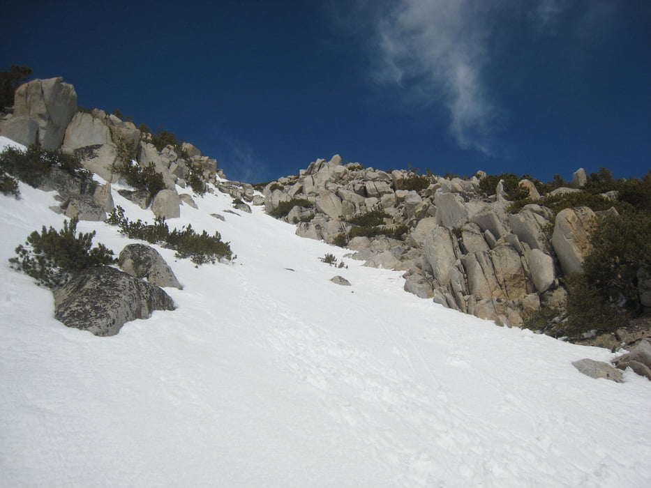
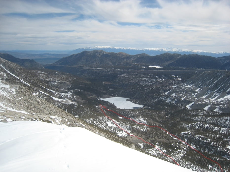
von der pack station in leicht ansteigender Querung nach Süden, hier kann man sich mehrere Rinnen heraussuchen. Durch die Rinne zum Gipfelplateau, den Gipfel lässt man normalerweise links hinten liegen. Abfahrt oben wie Aufstieg oder durch eine benachbarte Rinne. Unten vorteilhafterweise Abfahrt bis zur ungeräumnten rock creek road und auf dieser zurück. Die Rinnen haben ca. 35°+ Steilheit
Tourdatum 4.5.2016
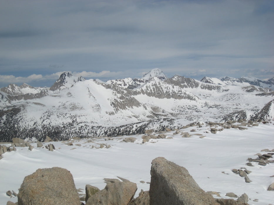
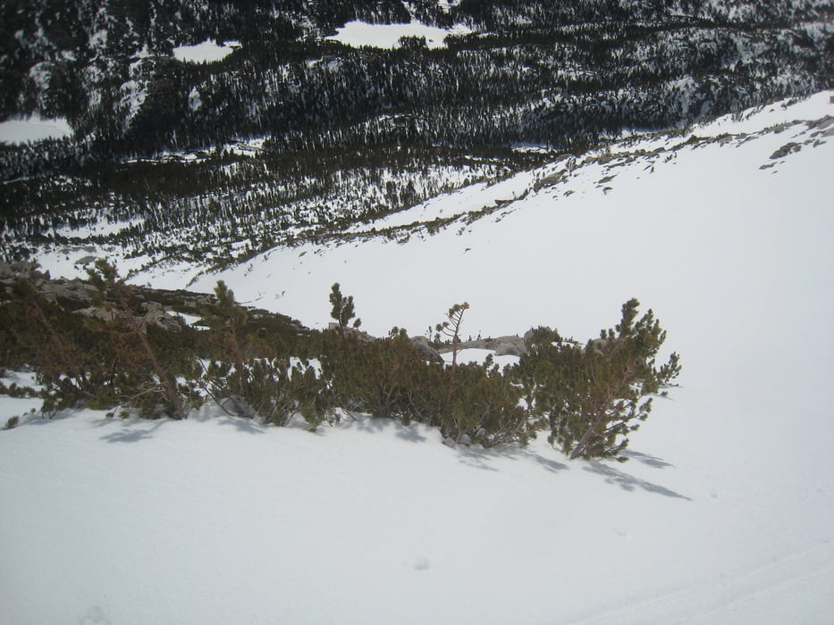
Galeria trasy
Mapa trasy i profil wysokości
Minimum height 3018 m
Maximum height 3738 m

Komentarze

Von Bishop auf der 395 nach Norden. Bei Tom's place nach links auf die Rock Creek road abbiegen. Der Straße bis zum Ende folgen.
GPS tracks
Trackpoints-
GPX / Garmin Map Source (gpx) download
-
TCX / Garmin Training Center® (tcx) download
-
CRS / Garmin Training Center® (crs) download
-
Google Earth (kml) download
-
G7ToWin (g7t) download
-
TTQV (trk) download
-
Overlay (ovl) download
-
Fugawi (txt) download
-
Kompass (DAV) Track (tk) download
-
Karta trasy (pdf) download
-
Original file of the author (gpx) download
Add to my favorites
Remove from my favorites
Edit tags
Open track
My score
Rate