Login

Zapomniałeś swój login?

Cookies have to be accepted!
Your browser's cookie functionality is disabled. Please enable this functionality.

Not a member yet?

Register now
Login

Available for registred users only

Log in to use this feature.

Zapomniałeś swój login?

Cookies have to be accepted!
Your browser's cookie functionality is disabled. Please enable this functionality.

Not a member yet?

Register now
Filter
Kategorie
Advanced filters
  • Długość (km)
  • Wysokość
Zapisz filtr Reset filter

TrackRank

QRCode

Technical data

Długość183,6 km Wysokość2529 m Way down2515 m Czas trwania08:00 h:m Data12.06.2017
Oceny Author Krajobraz Czynnik zadowolenia Kondycja Technika

Statystyka

358 Widoki Oceny 19 Downloads / Pliki do pobrania Przeciętnie
Rate
  • Karta trasy
  • Dojazd
  • Downloads / Pliki do pobrania

Onderweg zijn er voldoende drank en eetplaatsen te vinden. In Charleville was er bij onze rit een festival en dan was de mooie markt niet bereikbaar. Ga daar zeker eentje drinken om te genieten van de 17de eeuwse markt.
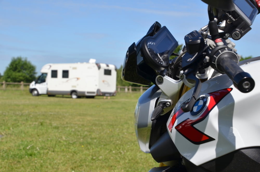
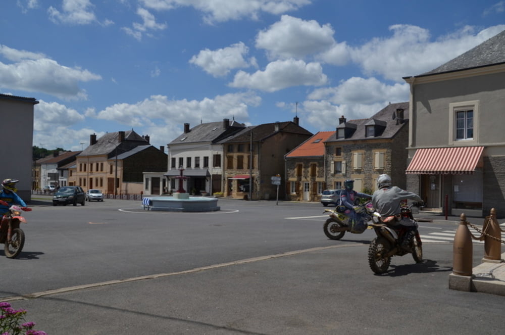
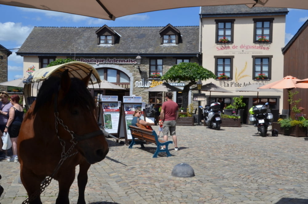
 

Galeria trasy

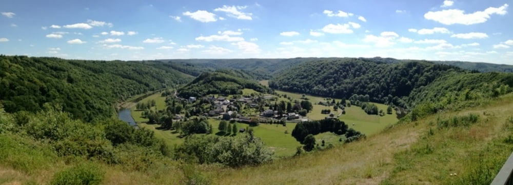
Mapa trasy i profil wysokości

  • Open Street Map
  • Google
Minimum height 105 m Maximum height 423 m Widok szczegółowy

More about the tour author

ikkel
Member since 2009

Send private message

Komentarze

GPS tracks

Trackpoints
  • GPX / Garmin Map Source (gpx) download
  • TCX / Garmin Training Center® (tcx) download
  • CRS / Garmin Training Center® (crs) download
  • Google Earth (kml) download
  • G7ToWin (g7t) download
  • TTQV (trk) download
  • Overlay (ovl) download
  • Fugawi (txt) download
  • Kompass (DAV) Track (tk) download
  • Karta trasy (pdf) download
  • Original file of the author (gpx) download

More about the tour author

ikkel
Member since 2009

Send private message
Share track
Add to my favorites
Remove from my favorites
Edit tags
My score
Rate
Trasa: Franse Ardennen en Belgische Gaume
Rodzaj: Motor
Długość: 183,6 km
Evaluated on:
Czas trwania:
Day(s)
Hour(s)
Minute(s)
Ocena: Krajobraz Czynnik zadowolenia Kondycja Technika