


Verkehrsfreie bis -arme Tour, fast alles auf Asphalt (bei der Hinfahrt, nach Steinbach ca. 2-3km durch den Wald, lässt sich aber über Pieselwang umfahren). Die Abfahrt nach Steinbach ist mit etwas mehr Verkehr, was aber bei 60km/h kein Problem ist :-) Rechtzeitig bremsen!
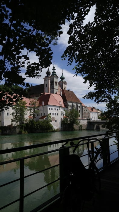
STEYR ist immer eine Tour Wert! Eine der schönsten Städte Europas - herrliches Sitzen beim Kaffee am Stadtplatz, veganes Spitzeneis in der "Enge Gasse"...
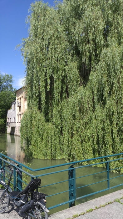
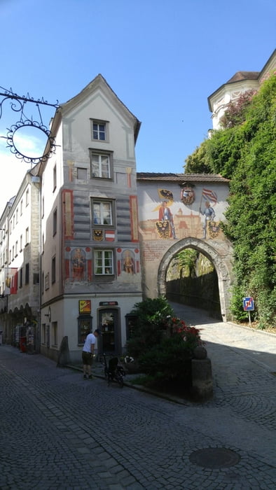
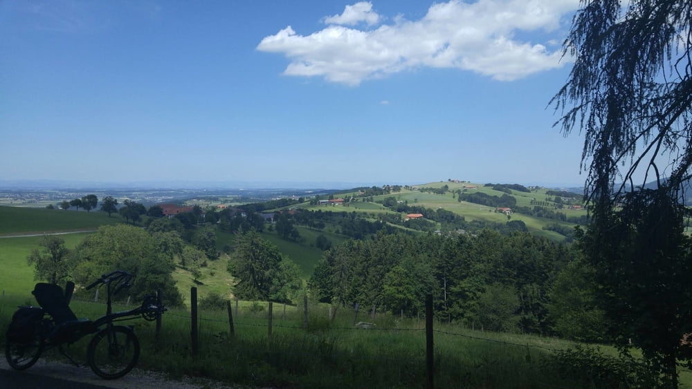
Galeria trasy
Mapa trasy i profil wysokości
Minimum height 334 m
Maximum height 658 m
More about the tour author
|
|
toxy |
Komentarze

Mein Start war in Micheldorf in OÖ, wo ich zu Hause bin. Routet einfach ins Zentrum (Ortsplatz), dort gibt es auch Parkplätze.
GPS tracks
Trackpoints-
GPX / Garmin Map Source (gpx) download
-
TCX / Garmin Training Center® (tcx) download
-
CRS / Garmin Training Center® (crs) download
-
Google Earth (kml) download
-
G7ToWin (g7t) download
-
TTQV (trk) download
-
Overlay (ovl) download
-
Fugawi (txt) download
-
Kompass (DAV) Track (tk) download
-
Karta trasy (pdf) download
-
Original file of the author (gpx) download
More about the tour author
|
|
toxy |
Add to my favorites
Remove from my favorites
Edit tags
Open track
My score
Rate