Login

Zapomniałeś swój login?

Cookies have to be accepted!
Your browser's cookie functionality is disabled. Please enable this functionality.

Not a member yet?

Register now
Login

Available for registred users only

Log in to use this feature.

Zapomniałeś swój login?

Cookies have to be accepted!
Your browser's cookie functionality is disabled. Please enable this functionality.

Not a member yet?

Register now
Filter
Kategorie
Advanced filters
  • Długość (km)
  • Wysokość
Zapisz filtr Reset filter

TrackRank

QRCode

Technical data

Długość26,8 km Wysokość1194 m Way down1197 m Czas trwania02:58 h:m Data18.06.2017
Oceny Author Krajobraz Czynnik zadowolenia Kondycja Technika

Statystyka

501 Widoki Oceny 141 Downloads / Pliki do pobrania Przeciętnie
Rate
  • Karta trasy
  • Dojazd
  • Downloads / Pliki do pobrania

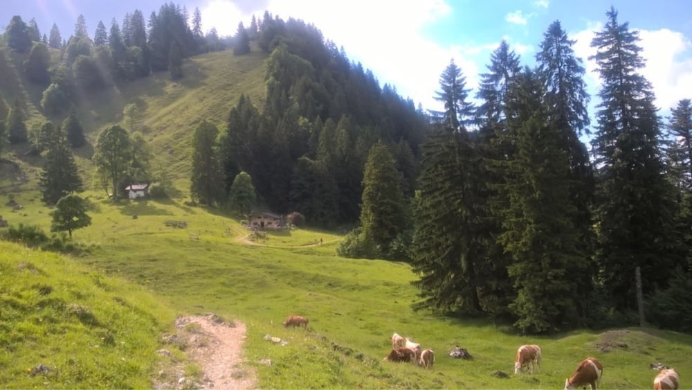
Super Tour für Down- und Uphill begeisterte MTBiker. Abwechslungsreiche Tour mit knackigen teils Trail- Anstiegen und schöne knifflige Trail- Abfahrten zur  Technik Verbesserung!

Start ist im schönen Marquartstein am Waldparkplatz. Es geht über Schnappenkirche und Staudacher Alm ins Weissachen Tal und dann hoch zur Jochbergalm.

Die Tour ist gut geeignet als Feierabend Tour da sie relativ schnell zu bewältigen ist.


Galeria trasy

Mapa trasy i profil wysokości

  • Open Street Map
  • Google
Minimum height 616 m Maximum height 1269 m Widok szczegółowy

More about the tour author

Hasenbaer
Member since 2013

Send private message

Komentarze

Marquartstein siehe Karten oder google maps

GPS tracks

Trackpoints
  • GPX / Garmin Map Source (gpx) download
  • TCX / Garmin Training Center® (tcx) download
  • CRS / Garmin Training Center® (crs) download
  • Google Earth (kml) download
  • G7ToWin (g7t) download
  • TTQV (trk) download
  • Overlay (ovl) download
  • Fugawi (txt) download
  • Kompass (DAV) Track (tk) download
  • Karta trasy (pdf) download
  • Original file of the author (gpx) download

More about the tour author

Hasenbaer
Member since 2013

Send private message
Share track
Add to my favorites
Remove from my favorites
Edit tags
My score
Rate
Trasa: Von Marquartstein auf den Hochgern- MBG 4_32
Rodzaj: Rower górski (MTB)
Długość: 26,8 km
Evaluated on:
Czas trwania:
Day(s)
Hour(s)
Minute(s)
Ocena: Krajobraz Czynnik zadowolenia Kondycja Technika