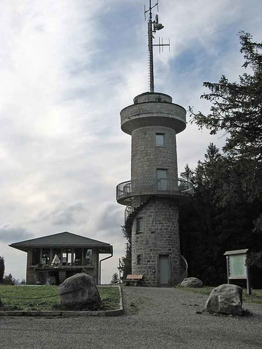
Groppertal - Moosloch - Stockwald - Oberkirnach - Galgen - Stoecklewaldturm - Escheck - Katharinenhoehe - Elzquelle - Martinskapelle - Bregquelle - Brendturm - Furtwangen - Vöhrenbach - Wolterdingen - Tannheim - Pfaffenweiler - Neuhäusle - Volkertsweiler - Groppertal - Mönchweiler
Galeria trasy
Mapa trasy i profil wysokości
Minimum height 717 m
Maximum height 1152 m
Komentarze

Als Einstieg empfiehlt sich der Parkplatz beim Steinbruch im Groppertal
( Anfahrt über Peterzell )
78089 Groppertal
oder beim ehemaligen Bahnhof Unterkirnach.
( Anfahrt über Villingen Richtung Unterkirnach )
Es kann aber auch jede andere Stelle als Einstieg gewählt werden.
GPS tracks
Trackpoints-
GPX / Garmin Map Source (gpx) download
-
TCX / Garmin Training Center® (tcx) download
-
CRS / Garmin Training Center® (crs) download
-
Google Earth (kml) download
-
G7ToWin (g7t) download
-
TTQV (trk) download
-
Overlay (ovl) download
-
Fugawi (txt) download
-
Kompass (DAV) Track (tk) download
-
Karta trasy (pdf) download
-
Original file of the author (gpx) download
Add to my favorites
Remove from my favorites
Edit tags
Open track
My score
Rate


