Login

Zapomniałeś swój login?

Cookies have to be accepted!
Your browser's cookie functionality is disabled. Please enable this functionality.

Not a member yet?

Register now
Login

Available for registred users only

Log in to use this feature.

Zapomniałeś swój login?

Cookies have to be accepted!
Your browser's cookie functionality is disabled. Please enable this functionality.

Not a member yet?

Register now
Filter
Kategorie
Advanced filters
  • Długość (km)
  • Wysokość
Zapisz filtr Reset filter

TrackRank

QRCode

Technical data

Długość47,0 km Wysokość0 m Way down0 m Czas trwania1 day 0 h Data08.07.2017
Oceny Author Krajobraz Czynnik zadowolenia Kondycja Technika

Statystyka

154 Widoki Oceny 7 Downloads / Pliki do pobrania Przeciętnie
Rate
  • Karta trasy
  • Dojazd
  • Downloads / Pliki do pobrania
Als aanvulling op de tocht geef ik nog even de route naar de Ferry in (Kingston upon) Hull. Van daaruit vaar je naar Rotterdam Europoort (NL) of Zeebrugge (B). Wie naar Newcastle terug wil kan de National cycle Route 1 volgen in Noordelijke richting.  De route vind je hier: http://www.sustrans.org.uk/ncn/map/route/route-1 

Mapa trasy i profil wysokości

  • Open Street Map
  • Google
Minimum height 99999 m Maximum height -99999 m Widok szczegółowy

More about the tour author

partnair
Member since 2017

Send private message

Komentarze

Vanaf de Camping een korte route naar de camping in de buurt van Hull. Als je geen reservedag in- bouwt kun je zeker door rijden naar de P&O docks

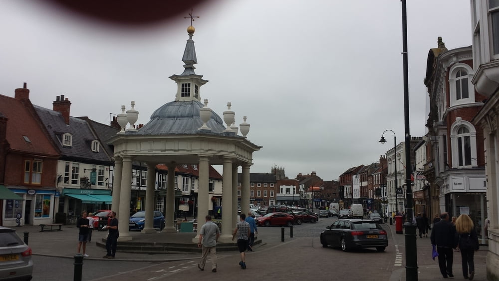
Beverly is een stop waard. 

GPS tracks

Trackpoints
  • GPX / Garmin Map Source (gpx) download
  • TCX / Garmin Training Center® (tcx) download
  • CRS / Garmin Training Center® (crs) download
  • Google Earth (kml) download
  • G7ToWin (g7t) download
  • TTQV (trk) download
  • Overlay (ovl) download
  • Fugawi (txt) download
  • Kompass (DAV) Track (tk) download
  • Karta trasy (pdf) download
  • Original file of the author (gpx) download

More about the tour author

partnair
Member since 2017

Send private message
Share track
Add to my favorites
Remove from my favorites
Edit tags
My score
Rate
Trasa: Dag/ Day 10 Hadrianus muur (Hadrian's wall) en Wainwrights Coast tot coast
Rodzaj: Trasy rowerowe
Długość: 47,0 km
Evaluated on:
Czas trwania:
Day(s)
Hour(s)
Minute(s)
Ocena: Krajobraz Czynnik zadowolenia Kondycja Technika