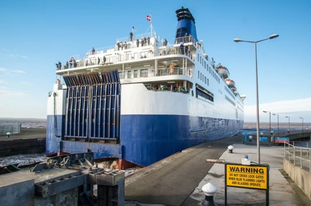
Als aanvulling op de tocht geef ik nog even de route naar de Ferry in (Kingston upon) Hull. Van daaruit vaar je naar Rotterdam Europoort (NL) of Zeebrugge (B). Wie naar Newcastle terug wil kan de National cycle Route 1 volgen in Noordelijke richting. De route vind je hier: http://www.sustrans.org.uk/ncn/map/route/route-1
Mapa trasy i profil wysokości
Minimum height 99999 m
Maximum height -99999 m
Komentarze

10 km vanaf de camping naar P&O docks.
GPS tracks
Trackpoints-
GPX / Garmin Map Source (gpx) download
-
TCX / Garmin Training Center® (tcx) download
-
CRS / Garmin Training Center® (crs) download
-
Google Earth (kml) download
-
G7ToWin (g7t) download
-
TTQV (trk) download
-
Overlay (ovl) download
-
Fugawi (txt) download
-
Kompass (DAV) Track (tk) download
-
Karta trasy (pdf) download
-
Original file of the author (gpx) download
Add to my favorites
Remove from my favorites
Edit tags
Open track
My score
Rate


