Login

Zapomniałeś swój login?

Cookies have to be accepted!
Your browser's cookie functionality is disabled. Please enable this functionality.

Not a member yet?

Register now
Login

Available for registred users only

Log in to use this feature.

Zapomniałeś swój login?

Cookies have to be accepted!
Your browser's cookie functionality is disabled. Please enable this functionality.

Not a member yet?

Register now
Filter
Kategorie
Advanced filters
  • Długość (km)
  • Wysokość
Zapisz filtr Reset filter

TrackRank

QRCode

Technical data

Długość51,8 km Wysokość96 m Way down94 m Czas trwania00:00 h:m Data20.07.2017
Oceny Author Krajobraz Czynnik zadowolenia Kondycja Technika

Statystyka

332 Widoki Oceny 27 Downloads / Pliki do pobrania Przeciętnie
Rate
  • Karta trasy
  • Dojazd
  • Downloads / Pliki do pobrania

Der Start liegt in der Nähe der Spandauer Zitadelle an einem Hotel mit Tiefgarage. Dann geht es Richtung Falkensee auf die Route. Man fährt auf Großstadttypischen Strassen und Radwegen sowie auf wenig befahrenen Nebenwegen.

Ihr kommt auch am Outletcenter vorbei und fahrt parallel zur Bundesstrasse, die die alte russische Kaserne durchquert. Auch das alte olympische Dorf ist nicht weit entfernt.
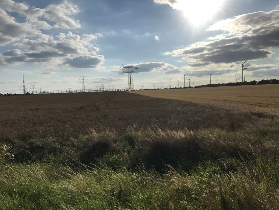
Galeria trasy

Mapa trasy i profil wysokości

  • Open Street Map
  • Google
Minimum height 103 m Maximum height 130 m Widok szczegółowy

More about the tour author

Harm
Member since 2005

Send private message

Komentarze

Einfach auf dem Navi Hotel Centrovital eingeben und dort in der Tiefgarage parken.

GPS tracks

Trackpoints
  • GPX / Garmin Map Source (gpx) download
  • TCX / Garmin Training Center® (tcx) download
  • CRS / Garmin Training Center® (crs) download
  • Google Earth (kml) download
  • G7ToWin (g7t) download
  • TTQV (trk) download
  • Overlay (ovl) download
  • Fugawi (txt) download
  • Kompass (DAV) Track (tk) download
  • Karta trasy (pdf) download
  • Original file of the author (gpx) download

More about the tour author

Harm
Member since 2005

Send private message
Share track
Add to my favorites
Remove from my favorites
Edit tags
My score
Rate
Trasa: Spandau-Falkensee-Wustermark-Spandau
Rodzaj: Rower szosowy
Długość: 51,8 km
Evaluated on:
Czas trwania:
Day(s)
Hour(s)
Minute(s)
Ocena: Krajobraz Czynnik zadowolenia Kondycja Technika