Login

Zapomniałeś swój login?

Cookies have to be accepted!
Your browser's cookie functionality is disabled. Please enable this functionality.

Not a member yet?

Register now
Login

Available for registred users only

Log in to use this feature.

Zapomniałeś swój login?

Cookies have to be accepted!
Your browser's cookie functionality is disabled. Please enable this functionality.

Not a member yet?

Register now
Filter
Kategorie
Advanced filters
  • Długość (km)
  • Wysokość
Zapisz filtr Reset filter

TrackRank

QRCode

Technical data

Długość36,7 km Wysokość674 m Way down783 m Czas trwania02:00 h:m Data23.07.2017
Oceny Author Krajobraz Czynnik zadowolenia Kondycja Technika

Statystyka

215 Widoki Oceny 20 Downloads / Pliki do pobrania Przeciętnie
Rate
  • Karta trasy
  • Dojazd
  • Downloads / Pliki do pobrania
Diese Route ist ein "one-way-ticket", weil sie der Flucht vor einem allzulangen Aufenthalt in einem Festzelt diente. Die Schlaufe Richtung Süden enthält einiges an Asphalt, aber auch ein paar reizvolle Plätze. Der Abstecher nach Studanky war neu für mich, ist aber landschaftlich ähnlich der Strecke Rading-Horni Dvoriste.
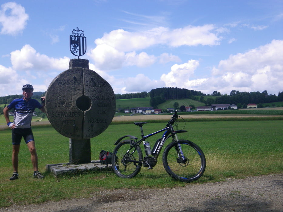
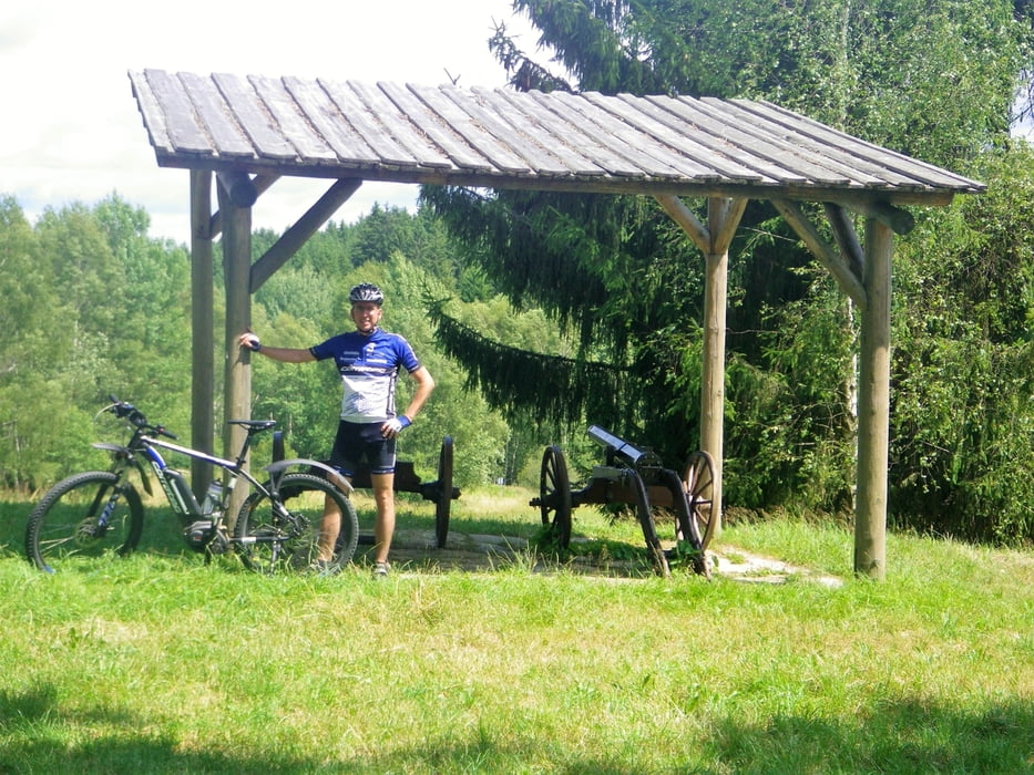
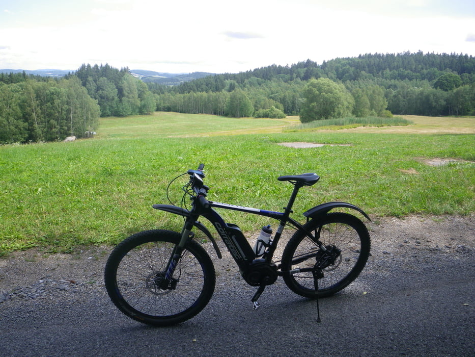
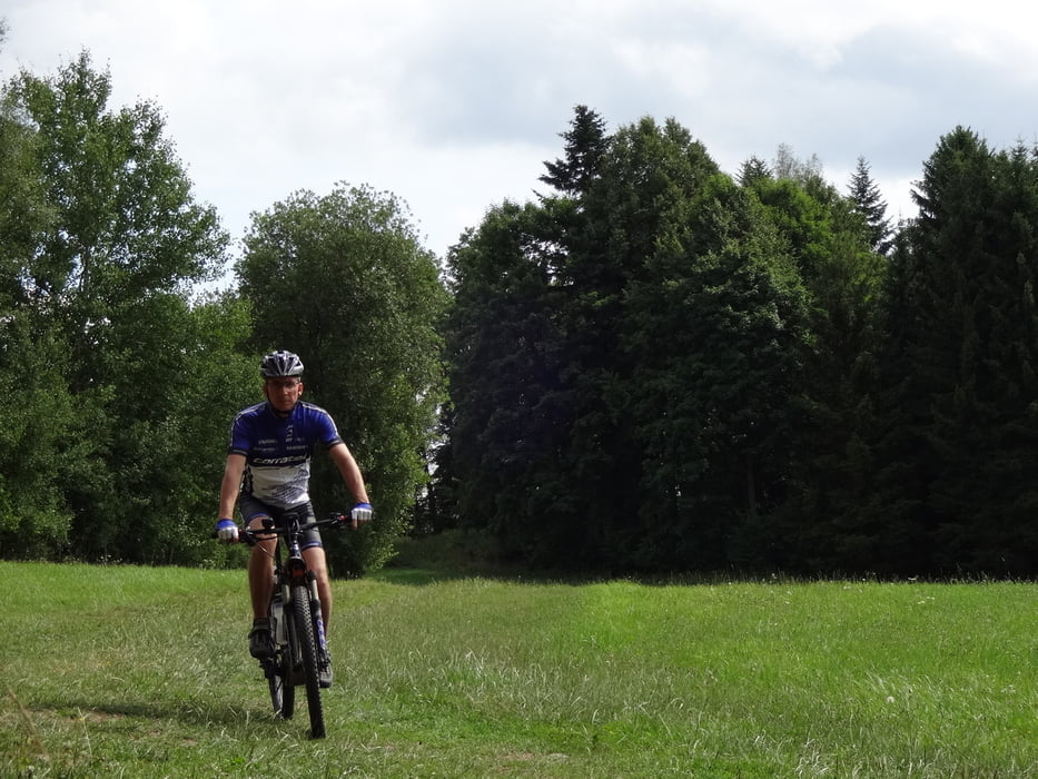
Galeria trasy

Mapa trasy i profil wysokości

  • Open Street Map
  • Google
Minimum height 546 m Maximum height 792 m Widok szczegółowy

More about the tour author

rjkas
Member since 2003

Send private message

Komentarze

GPS tracks

Trackpoints
  • GPX / Garmin Map Source (gpx) download
  • TCX / Garmin Training Center® (tcx) download
  • CRS / Garmin Training Center® (crs) download
  • Google Earth (kml) download
  • G7ToWin (g7t) download
  • TTQV (trk) download
  • Overlay (ovl) download
  • Fugawi (txt) download
  • Kompass (DAV) Track (tk) download
  • Karta trasy (pdf) download
  • Original file of the author (tcx) download

More about the tour author

rjkas
Member since 2003

Send private message
Share track
Add to my favorites
Remove from my favorites
Edit tags
My score
Rate
Trasa: Amesschlag - Langzwettl - Rading - Studanky - Horni Dvoriste > e-mtb
Rodzaj: Rower górski (MTB)
Długość: 36,7 km
Evaluated on:
Czas trwania:
Day(s)
Hour(s)
Minute(s)
Ocena: Krajobraz Czynnik zadowolenia Kondycja Technika