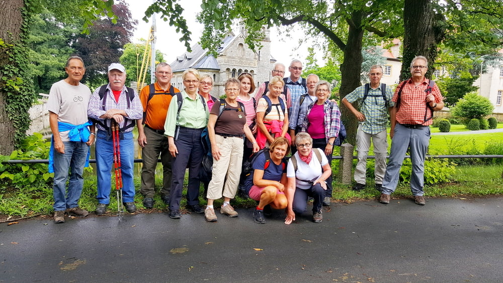
Diese Wanderung führt dich durch die Stadt, dann leicht wellig, aber immer mit schönen Aussichten zum Haus Brinke. Sehr schön. Weiter, wellig durch Wiesen und Felder hoch mit steilen und langen Anstiegen zum Hollandkopf und zum Luisenturm. Steil geht es runter in die Stadt zum Cafe " Schulze". Diese Einkehr lohnt sich-g
Galeria trasy
Mapa trasy i profil wysokości
Minimum height 12 m
Maximum height 335 m
Komentarze

GPS tracks
Trackpoints-
GPX / Garmin Map Source (gpx) download
-
TCX / Garmin Training Center® (tcx) download
-
CRS / Garmin Training Center® (crs) download
-
Google Earth (kml) download
-
G7ToWin (g7t) download
-
TTQV (trk) download
-
Overlay (ovl) download
-
Fugawi (txt) download
-
Kompass (DAV) Track (tk) download
-
Karta trasy (pdf) download
-
Original file of the author (gpx) download
Add to my favorites
Remove from my favorites
Edit tags
Open track
My score
Rate


