Login

Zapomniałeś swój login?

Cookies have to be accepted!
Your browser's cookie functionality is disabled. Please enable this functionality.

Not a member yet?

Register now
Login

Available for registred users only

Log in to use this feature.

Zapomniałeś swój login?

Cookies have to be accepted!
Your browser's cookie functionality is disabled. Please enable this functionality.

Not a member yet?

Register now
Filter
Kategorie
Advanced filters
  • Długość (km)
  • Wysokość
Zapisz filtr Reset filter

TrackRank

QRCode

Technical data

Długość124,4 km Wysokość842 m Way down607 m Czas trwania08:00 h:m Data12.08.2017
Oceny Author Krajobraz Czynnik zadowolenia Kondycja Technika

Statystyka

261 Widoki Oceny 32 Downloads / Pliki do pobrania Przeciętnie
Rate
  • Karta trasy
  • Dojazd
  • Downloads / Pliki do pobrania

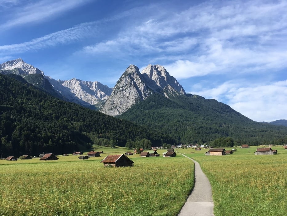
Schöne Tour von München Hbf

entlang der Isar, ins Tölzer Land

über den Sylvensteinspeicher

und die kleine Mautstraße (kostenlos für Radfahrer)

nach Wallgau und ab nach Garmisch.

(1. Teilstrecke der Alpenüberquerung von München nach Torbole)

Mapa trasy i profil wysokości

  • Open Street Map
  • Google
Minimum height 539 m Maximum height 982 m Widok szczegółowy

More about the tour author

Christopher_Haas21
Member since 2016

Send private message

Komentarze

München Hauptbahnhof

am besten mit dem Zug, U-Bahn, S-Bahn, Flix-Bus

oder als Münchener einfach hinradeln...

GPS tracks

Trackpoints
  • GPX / Garmin Map Source (gpx) download
  • TCX / Garmin Training Center® (tcx) download
  • CRS / Garmin Training Center® (crs) download
  • Google Earth (kml) download
  • G7ToWin (g7t) download
  • TTQV (trk) download
  • Overlay (ovl) download
  • Fugawi (txt) download
  • Kompass (DAV) Track (tk) download
  • Karta trasy (pdf) download
  • Original file of the author (gpx) download

More about the tour author

Christopher_Haas21
Member since 2016

Send private message
Share track
Add to my favorites
Remove from my favorites
Edit tags
My score
Rate
Trasa: München Tölz Sylvensteinspeicher Wallgau Garmisch
Rodzaj: Rower górski (MTB)
Długość: 124,4 km
Evaluated on:
Czas trwania:
Day(s)
Hour(s)
Minute(s)
Ocena: Krajobraz Czynnik zadowolenia Kondycja Technika