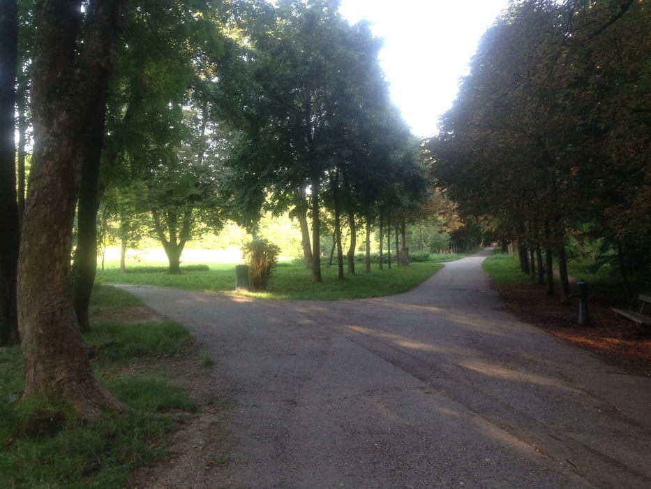
Start der Tour ist in Purkersdorf beim Billa.
Die Tour verläuft hautsächlich auf MTB-Strecken wie der Hameau-, Wilhelminenberg-, Hirschengarten- und Troppbergstrecke.
Von Purkersdorf verläuft die Strecke vorbei am Hohe Wand Trailpark und Schottenhof zum Schwarzenbergpark nach Weidlingbach.
Von Weidlingbach Richtung Sophienalpe nach Scheiblingstein.
Über Mauerbach und Gablitz geht es zurück nach Purkersdorf.
Further information at
http://www.hohewandwiese.com/Galeria trasy
Mapa trasy i profil wysokości
Minimum height 242 m
Maximum height 520 m
Komentarze

GPS tracks
Trackpoints-
GPX / Garmin Map Source (gpx) download
-
TCX / Garmin Training Center® (tcx) download
-
CRS / Garmin Training Center® (crs) download
-
Google Earth (kml) download
-
G7ToWin (g7t) download
-
TTQV (trk) download
-
Overlay (ovl) download
-
Fugawi (txt) download
-
Kompass (DAV) Track (tk) download
-
Karta trasy (pdf) download
-
Original file of the author (gpx) download
Add to my favorites
Remove from my favorites
Edit tags
Open track
My score
Rate


