
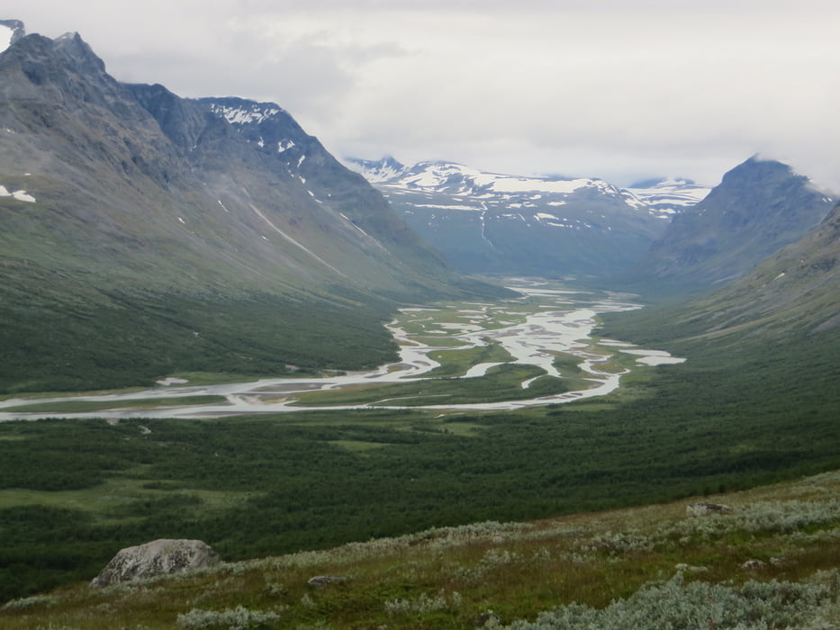

Track only partially recorded. Original route was combined by collection of existing routes. Paths not marked, partially no visible path but many variations possible. Time of year: 08/2017 (long snow period reported this year -> some snow lasting). Critical parts: 1. crossing @1600m (decent needs carefully be selected -> was problematic due to bad weather and snow fields, but possible), 2. crossing of rivers (esp. in Sarvesvagge) , 3. walking within Rapadalen was best in riverside area (otherwise lots of water, mud and bushes/ trees)
Mapa trasy i profil wysokości
Minimum height 314 m
Maximum height 1621 m
More about the tour author

|
pnickel |
Komentarze

Bus to Ritsem / from Kvikkjork
GPS tracks
Trackpoints-
GPX / Garmin Map Source (gpx) download
-
TCX / Garmin Training Center® (tcx) download
-
CRS / Garmin Training Center® (crs) download
-
Google Earth (kml) download
-
G7ToWin (g7t) download
-
TTQV (trk) download
-
Overlay (ovl) download
-
Fugawi (txt) download
-
Kompass (DAV) Track (tk) download
-
Karta trasy (pdf) download
-
Original file of the author (gpx) download
More about the tour author
|
|
pnickel |
Add to my favorites
Remove from my favorites
Edit tags
Open track
My score
Rate