Login

Zapomniałeś swój login?

Cookies have to be accepted!
Your browser's cookie functionality is disabled. Please enable this functionality.

Not a member yet?

Register now
Login

Available for registred users only

Log in to use this feature.

Zapomniałeś swój login?

Cookies have to be accepted!
Your browser's cookie functionality is disabled. Please enable this functionality.

Not a member yet?

Register now
Filter
Kategorie
Advanced filters
  • Długość (km)
  • Wysokość
Zapisz filtr Reset filter

TrackRank

QRCode

Technical data

Długość898,3 km Wysokość13897 m Way down14012 m Czas trwania00:00 h:m Data20.08.2017
Oceny Author Krajobraz Czynnik zadowolenia Kondycja Technika

Statystyka

210 Widoki Oceny 36 Downloads / Pliki do pobrania Przeciętnie
Rate
  • Karta trasy
  • Dojazd
  • Downloads / Pliki do pobrania
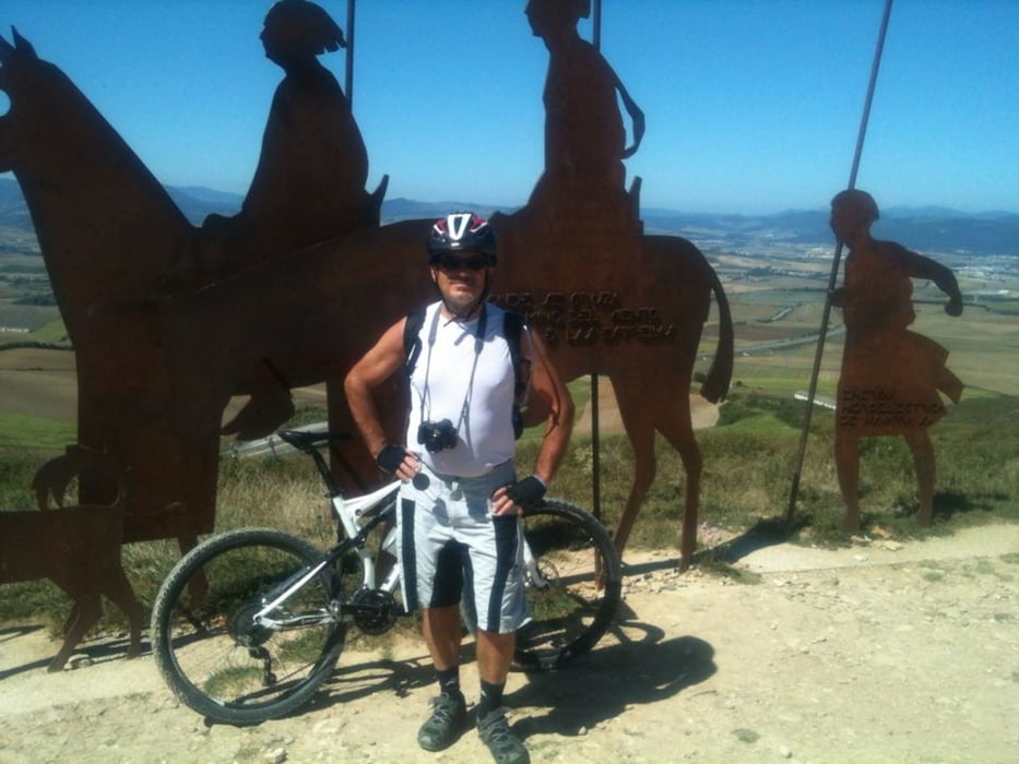
classico giro che si fà a piedi per cui in bici diventa impegnativo fatto nel 2015 in 12 tappe con supporto di un furgone che ci portava i bagagli

Mapa trasy i profil wysokości

  • Open Street Map
  • Google
Minimum height -1 m Maximum height 1512 m Widok szczegółowy

More about the tour author

bettoliroberto
Member since 2010

Send private message

Komentarze

GPS tracks

Trackpoints
  • GPX / Garmin Map Source (gpx) download
  • TCX / Garmin Training Center® (tcx) download
  • CRS / Garmin Training Center® (crs) download
  • Google Earth (kml) download
  • G7ToWin (g7t) download
  • TTQV (trk) download
  • Overlay (ovl) download
  • Fugawi (txt) download
  • Kompass (DAV) Track (tk) download
  • Karta trasy (pdf) download
  • Original file of the author (gpx) download

More about the tour author

bettoliroberto
Member since 2010

Send private message
Share track
Add to my favorites
Remove from my favorites
Edit tags
My score
Rate
Trasa: Santiago de Compostela
Rodzaj: Rower górski (MTB)
Długość: 898,3 km
Evaluated on:
Czas trwania:
Day(s)
Hour(s)
Minute(s)
Ocena: Krajobraz Czynnik zadowolenia Kondycja Technika