Login

Zapomniałeś swój login?

Cookies have to be accepted!
Your browser's cookie functionality is disabled. Please enable this functionality.

Not a member yet?

Register now
Login

Available for registred users only

Log in to use this feature.

Zapomniałeś swój login?

Cookies have to be accepted!
Your browser's cookie functionality is disabled. Please enable this functionality.

Not a member yet?

Register now
Filter
Kategorie
Advanced filters
  • Długość (km)
  • Wysokość
Zapisz filtr Reset filter

TrackRank

QRCode

Technical data

Długość43,8 km Wysokość750 m Way down748 m Czas trwania03:30 h:m Data20.08.2017
Oceny Author Krajobraz Czynnik zadowolenia Kondycja Technika

Statystyka

302 Widoki 1 Ocena 78 Downloads / Pliki do pobrania 4.00 Przeciętnie
Rate
  • Karta trasy
  • Dojazd
  • Downloads / Pliki do pobrania

Start/Ziel ist in Aachen am Ponyhof Meisel.

Von dort geht es durch den Aachener Wald über den 3-Länderpunkt in den Vijlenerbos zum BOSCAFE. Von dort über Belgien (Gemmenich-Morsnet) zurück in den Aachener Wald.
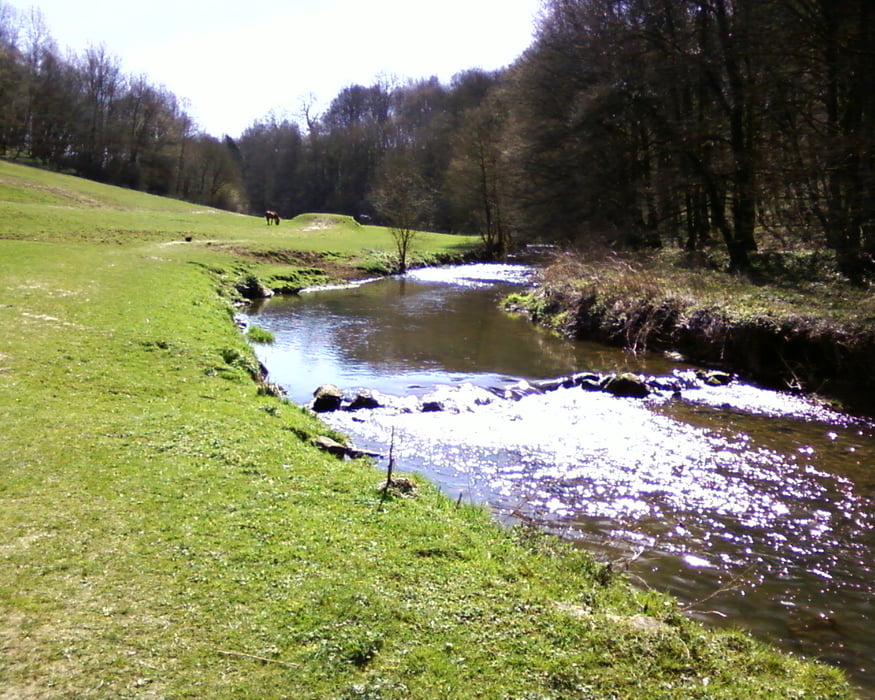
Galeria trasy

Mapa trasy i profil wysokości

  • Open Street Map
  • Google
Minimum height 151 m Maximum height 360 m Widok szczegółowy

More about the tour author

hilli_ac
Member since 2010

Send private message

Komentarze

theduke1mtb on 12.06.2019

Tolle Tour

Nachdem ich mir 2018 nach 18km das Schlüsselbein gebrochen habe, konnten wir nun endlich diese schöne Tour fahren! Es sind zwar nur rund 850hm, aber so what!

Danke

GPS tracks

Trackpoints
  • GPX / Garmin Map Source (gpx) download
  • TCX / Garmin Training Center® (tcx) download
  • CRS / Garmin Training Center® (crs) download
  • Google Earth (kml) download
  • G7ToWin (g7t) download
  • TTQV (trk) download
  • Overlay (ovl) download
  • Fugawi (txt) download
  • Kompass (DAV) Track (tk) download
  • Karta trasy (pdf) download
  • Original file of the author (gpx) download

More about the tour author

hilli_ac
Member since 2010

Send private message
Share track
Add to my favorites
Remove from my favorites
Edit tags
My score
Rate
Trasa: AC_Ponyhof -NL_Boscafe-AC
Rodzaj: Rower górski (MTB)
Długość: 43,8 km
Evaluated on:
Czas trwania:
Day(s)
Hour(s)
Minute(s)
Ocena: Krajobraz Czynnik zadowolenia Kondycja Technika