


Arabba-Passo Pordoi-Canazei-Passo Duron-Mahlknechthütte-
Seiser Alm-Seis-Völser Weiher-Völs-Bozen-Andrian
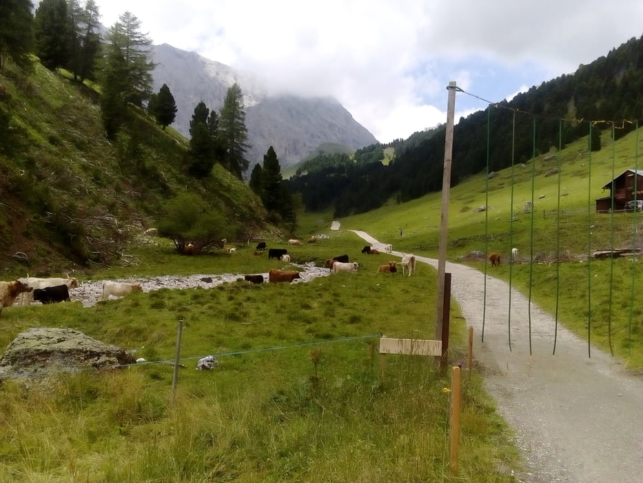
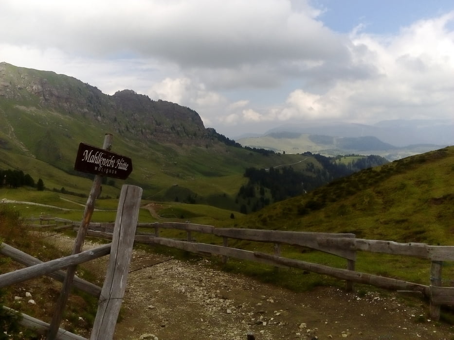
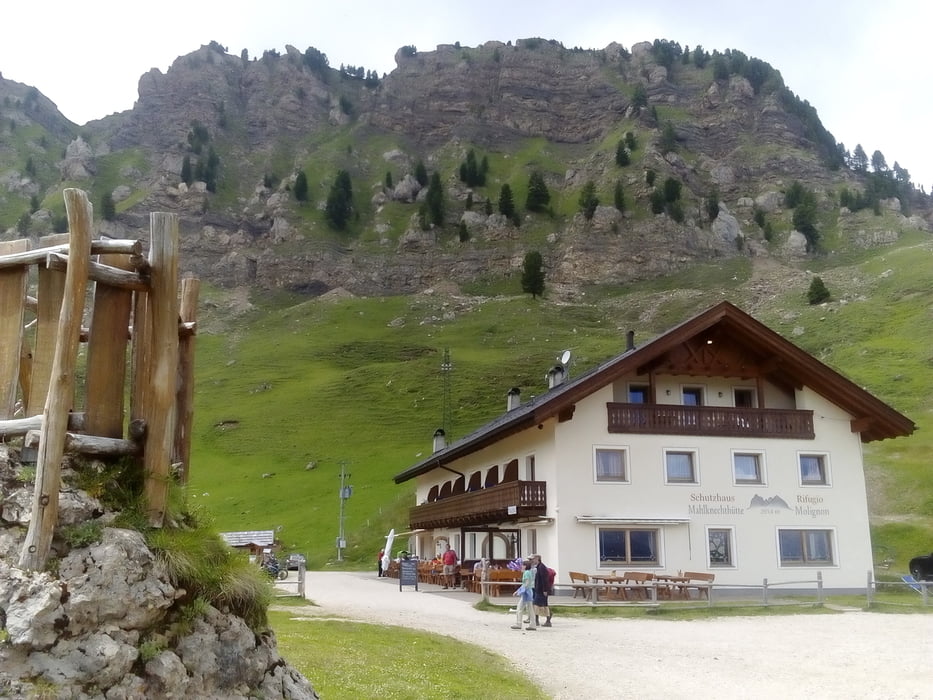
Herrliche Einstiegsetappe in die TA17 über Passo Pordoi ohne Straße, das großartige Val Duron, die wunderbare Seiser Alm, tolle Waldwegerl zwischen Seis und Völs. Am Ende hab ich im Etschtal noch Meter gemacht. Quartier Garni Grünwald: NF 56€. Ok. Zu Fuß erreichbares gutes Lokal ein bisschen den Berg rauf. Tel. 0039 0471 510133 http://www.gruenwald-andrian.it/de/index.php
Herrliche Einstiegsetappe in die TA17 über Passo Pordoi ohne Straße, das großartige Val Duron, die wunderbare Seiser Alm, tolle Waldwegerl zwischen Seis und Völs. Am Ende hab ich im Etschtal noch Meter gemacht. Quartier Garni Grünwald: NF 56€. Ok. Zu Fuß erreichbares gutes Lokal ein bisschen den Berg rauf. Tel. 0039 0471 510133 http://www.gruenwald-andrian.it/de/index.php
Further information at
http://www.gruenwald-andrian.it/de/index.phpGaleria trasy
Mapa trasy i profil wysokości
Minimum height 295 m
Maximum height 2239 m
More about the tour author
|
|
mitter |
Komentarze

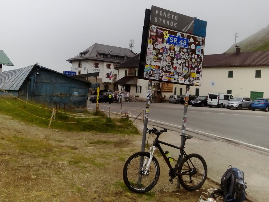
Start in Arabba beim Garni Belvedere.
GPS tracks
Trackpoints-
GPX / Garmin Map Source (gpx) download
-
TCX / Garmin Training Center® (tcx) download
-
CRS / Garmin Training Center® (crs) download
-
Google Earth (kml) download
-
G7ToWin (g7t) download
-
TTQV (trk) download
-
Overlay (ovl) download
-
Fugawi (txt) download
-
Kompass (DAV) Track (tk) download
-
Karta trasy (pdf) download
-
Original file of the author (gpx) download
More about the tour author
|
|
mitter |
Add to my favorites
Remove from my favorites
Edit tags
Open track
My score
Rate