
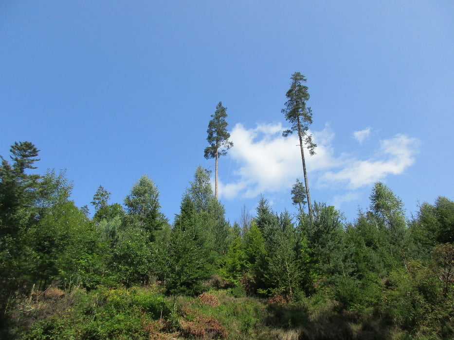

Wir wandern von Gompelscheuer das Kaltenbachtal hinauf bis zum Kaltenbachsee und dann mit einem kleinen Schlenker wieder zurück. Eingeschränkter Badespaß dabei am Kaltenbachsee, Leo hat sich trotzdem durch das Schilf in das freilich nicht so klare Wasser gewagt. Dafür musste er später beim Riessbrunnen nochmal plantschen und gleich darauf auch nochmal im Kaltenbach. Der Kaltenbachsee ist übrigens ein (schon 1782) künstlich angelegter See, der den Flößern dereinst ermöglichte, Schwellwasser abzulassen und damit ihre Holzstämme leichter talabwärts transportieren zu können.
Galeria trasy


Mapa trasy i profil wysokości
Minimum height 673 m
Maximum height 838 m
More about the tour author
|
|
Sigi2910 |
Komentarze

GPS tracks
Trackpoints-
GPX / Garmin Map Source (gpx) download
-
TCX / Garmin Training Center® (tcx) download
-
CRS / Garmin Training Center® (crs) download
-
Google Earth (kml) download
-
G7ToWin (g7t) download
-
TTQV (trk) download
-
Overlay (ovl) download
-
Fugawi (txt) download
-
Kompass (DAV) Track (tk) download
-
Karta trasy (pdf) download
-
Original file of the author (gpx) download
More about the tour author
|
|
Sigi2910 |
Add to my favorites
Remove from my favorites
Edit tags
Open track
My score
Rate