


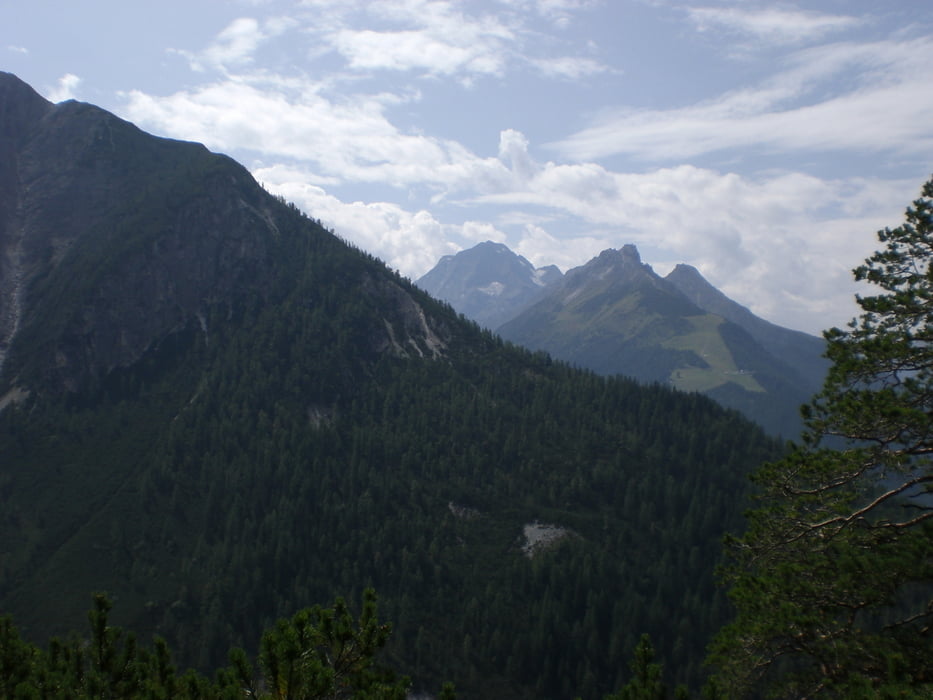
Unsere Wirtin hat uns diese Tour empfohlen. Start ist in Kampl. Auf einem sehr steilen, aber gut gehbaren Steig geht es zum Gasthof Wildeben. Wir sind noch ein Stück weiter Richtung Serles zu einem Aussichtspunkt gegangen. Danach ging es zurück zum Gasthof. Nach einer Stärkung haben wir den schwarzen Steig ins Tal zurück genommen. Der tlw. steil abschüssige Weg ist an einigen Stellen etwas ausgesetzt und der Untergrund ist rutschig (Schotter). Zusätzlich muss man an 2,3 Stellen den Bach queren. Wer solche Wege nicht gewohnt ist bzw. sich dabei unsicher fühlt, sollte den Steig auf jeden Fall meiden. Dann lieber den Hinweg nehmen oder über den Forstweg zurück ins Tal.
Galeria trasy


Mapa trasy i profil wysokości
Minimum height 1041 m
Maximum height 1853 m
More about the tour author

|
klixx |
Komentarze

In Kampl oberhalb der Stubaitalstraße kann man kostenlos parken.
GPS tracks
Trackpoints-
GPX / Garmin Map Source (gpx) download
-
TCX / Garmin Training Center® (tcx) download
-
CRS / Garmin Training Center® (crs) download
-
Google Earth (kml) download
-
G7ToWin (g7t) download
-
TTQV (trk) download
-
Overlay (ovl) download
-
Fugawi (txt) download
-
Kompass (DAV) Track (tk) download
-
Karta trasy (pdf) download
-
Original file of the author (gpx) download
More about the tour author
|
|
klixx |
Add to my favorites
Remove from my favorites
Edit tags
Open track
My score
Rate