Login

Zapomniałeś swój login?

Cookies have to be accepted!
Your browser's cookie functionality is disabled. Please enable this functionality.

Not a member yet?

Register now
Login

Available for registred users only

Log in to use this feature.

Zapomniałeś swój login?

Cookies have to be accepted!
Your browser's cookie functionality is disabled. Please enable this functionality.

Not a member yet?

Register now
Filter
Kategorie
Advanced filters
  • Długość (km)
  • Wysokość
Zapisz filtr Reset filter

TrackRank

QRCode

Technical data

Długość44,4 km Wysokość873 m Way down873 m Czas trwania03:00 h:m Data10.09.2017
Oceny Author Krajobraz Czynnik zadowolenia Kondycja Technika

Statystyka

517 Widoki Oceny 175 Downloads / Pliki do pobrania Przeciętnie
Rate
  • Karta trasy
  • Dojazd
  • Downloads / Pliki do pobrania

Die Tour startet (am Campingplatz Le Capanne) in Bibbona.

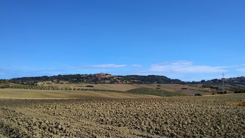
Von dort erstmal gemütliches Kurbeln durch die toskanische Landschaft auf Feld/Schotterwegen oder später auch auf einsamen Landstrassen, durch die netten Orte Bibbona und Casale Marittimo

In Gabella  beginnt dann der sehr dankbare Anstieg (Achtung, auch letzte Espressobar) hoch nach Sasso, ab Sasso dann steiler auf Schotter bis zum Poggio al Pruno.

Von dort wartet dann das Highlight: Downhill auf einem lupenreinen Genusstrail, angelegt vom MTB Club Cecina. War wohl Teil des Bike Marathon del Tirreno.

Schwierigkeit meist S1, manchmal S2 (geschätzt), alles fahrbar.

Man wird 500 Hm später wieder bei  Bolgheri ausgespuckt, von dort Gelegenheit zu einem touristischen Abstecher zur berühmten Zypressenallee. 

wunderbare Halbtagestour.

Galeria trasy

Mapa trasy i profil wysokości

  • Open Street Map
  • Google
Minimum height 9 m Maximum height 605 m Widok szczegółowy

More about the tour author

magsegum
Member since 2012

Send private message

Komentarze

GthKite on 18.06.2020

auf der Durchfahrt

Bin ab Bibbona eingestiegen und bin über die Weinberge auf Forstwegen soweit man offensichtlich die Straße vermeiden konnte. Egal die Abfahrt ist genial.

Danke fürs teilen
GT

GPS tracks

Trackpoints
  • GPX / Garmin Map Source (gpx) download
  • TCX / Garmin Training Center® (tcx) download
  • CRS / Garmin Training Center® (crs) download
  • Google Earth (kml) download
  • G7ToWin (g7t) download
  • TTQV (trk) download
  • Overlay (ovl) download
  • Fugawi (txt) download
  • Kompass (DAV) Track (tk) download
  • Karta trasy (pdf) download
  • Original file of the author (gpx) download

More about the tour author

magsegum
Member since 2012

Send private message
Share track
Add to my favorites
Remove from my favorites
Edit tags
My score
Rate
Trasa: Poggio al Pruno Trails in der Macchia Magona
Rodzaj: Rower górski (MTB)
Długość: 44,4 km
Evaluated on:
Czas trwania:
Day(s)
Hour(s)
Minute(s)
Ocena: Krajobraz Czynnik zadowolenia Kondycja Technika