Login

Zapomniałeś swój login?

Cookies have to be accepted!
Your browser's cookie functionality is disabled. Please enable this functionality.

Not a member yet?

Register now
Login

Available for registred users only

Log in to use this feature.

Zapomniałeś swój login?

Cookies have to be accepted!
Your browser's cookie functionality is disabled. Please enable this functionality.

Not a member yet?

Register now
Filter
Kategorie
Advanced filters
  • Długość (km)
  • Wysokość
Zapisz filtr Reset filter

TrackRank

QRCode

Technical data

Długość48,0 km Wysokość2548 m Way down2572 m Czas trwania00:00 h:m Data14.09.2017
Oceny Author Krajobraz Czynnik zadowolenia Kondycja Technika

Statystyka

398 Widoki Oceny 35 Downloads / Pliki do pobrania Przeciętnie
Rate
  • Karta trasy
  • Dojazd
  • Downloads / Pliki do pobrania

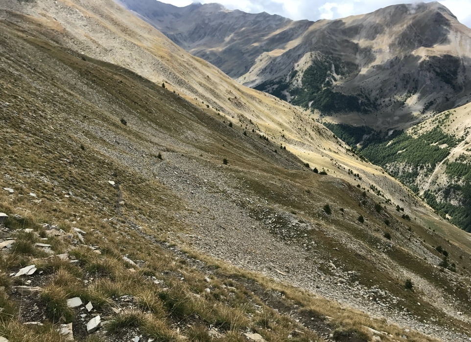
Tour zum Parpaillon - Tunnel und 3 weiteren Pässen.

Sehr anstrengend, vor allem sind da ca. 3x300 Höhenmeter zu tragen!!!
UND: Nicht da starten, wo ich gestartet bin, sondern nach St. Anne fahren, also in einer Kehre vorher rechts rein!!!

DAS IST EINE SUPERTOUR!!! Eine der schönsten, die ich gefahren bin.


Further information at

https://randypanguitch.wordpress.com/randy-panguitch-startseite/mtb-touren/tagestouren/tagestouren_frankreich/2017_09_parpaillon/

Galeria trasy

Mapa trasy i profil wysokości

  • Open Street Map
  • Google
Minimum height 1800 m Maximum height 2825 m Widok szczegółowy

More about the tour author

RandB
Member since 2006

Send private message

Komentarze

GPS tracks

Trackpoints
  • GPX / Garmin Map Source (gpx) download
  • TCX / Garmin Training Center® (tcx) download
  • CRS / Garmin Training Center® (crs) download
  • Google Earth (kml) download
  • G7ToWin (g7t) download
  • TTQV (trk) download
  • Overlay (ovl) download
  • Fugawi (txt) download
  • Kompass (DAV) Track (tk) download
  • Karta trasy (pdf) download
  • Original file of the author (gpx) download

More about the tour author

RandB
Member since 2006

Send private message
Share track
Add to my favorites
Remove from my favorites
Edit tags
My score
Rate
Trasa: Parpaillon-Tunnel und 3 Pässe
Rodzaj: Rower górski (MTB)
Długość: 48,0 km
Evaluated on:
Czas trwania:
Day(s)
Hour(s)
Minute(s)
Ocena: Krajobraz Czynnik zadowolenia Kondycja Technika