


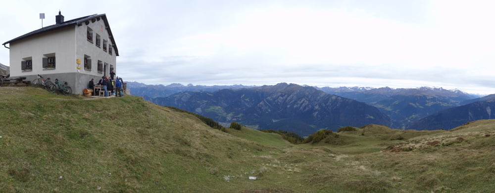
einfachere Tour zur Calanda SAC Hütte. Es sind 1656 Höhenmeter bis zur Calandahütte, weitere 600hm (zu Fuß) zum Calanda Gipfel.
Nach Vazer Alp ein kurzes Schiebestück von 50hm auf ca. 600m Strecke, hinunter S1-S2 auf dem alten Weg zur SAC Hütte.
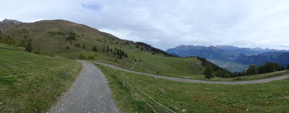
Insgesamt hat es sehr wenig Trails am Calanda, die Wanderer gehen eher die Wege oberhalb der Hütte. Interessant sind die Trails von Lanquart bis Chur beidseits des Rheins.
Cola 0,5l und Suppe 12Euro in der Calandahütte sind für örtliche Preise in der Schweiz günstig.
Galeria trasy

Mapa trasy i profil wysokości
Minimum height 519 m
Maximum height 2076 m
More about the tour author
|
|
skyhopper |
Komentarze

parken an Kantonsstraße, sonst überall Gebührenpflicht
GPS tracks
Trackpoints-
GPX / Garmin Map Source (gpx) download
-
TCX / Garmin Training Center® (tcx) download
-
CRS / Garmin Training Center® (crs) download
-
Google Earth (kml) download
-
G7ToWin (g7t) download
-
TTQV (trk) download
-
Overlay (ovl) download
-
Fugawi (txt) download
-
Kompass (DAV) Track (tk) download
-
Karta trasy (pdf) download
-
Original file of the author (gpx) download
More about the tour author
|
|
skyhopper |
Add to my favorites
Remove from my favorites
Edit tags
Open track
My score
Rate