

Schöne Feierabend-Tour durch die hügelige Landschaft des Lipperlandes. Wunderbare Aussichten auf die Tiefebene zwischen Teuto und Weserbergland.
Beginnend nähe Bielefeld-Ostbahnhof über Heepen, Schuckenbaum, Wülfer, Schötmar, Hollenstein, Talle, Lemgo und zurück. Die Tour führt hauptsächlich über kleine wenig befahrene Straßen.
Beginnend nähe Bielefeld-Ostbahnhof über Heepen, Schuckenbaum, Wülfer, Schötmar, Hollenstein, Talle, Lemgo und zurück. Die Tour führt hauptsächlich über kleine wenig befahrene Straßen.
Galeria trasy

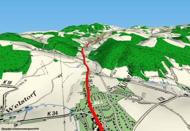
Mapa trasy i profil wysokości
Minimum height 75 m
Maximum height 300 m
More about the tour author

|
Komentarze

Ab Bielefeld Zentrum auf der Heeper Strasse bis zum Bielefelder Ostbahnhof fahren.
GPS tracks
Trackpoints-
GPX / Garmin Map Source (gpx) download
-
TCX / Garmin Training Center® (tcx) download
-
CRS / Garmin Training Center® (crs) download
-
Google Earth (kml) download
-
G7ToWin (g7t) download
-
TTQV (trk) download
-
Overlay (ovl) download
-
Fugawi (txt) download
-
Kompass (DAV) Track (tk) download
-
Karta trasy (pdf) download
-
Original file of the author (gpx) download
More about the tour author
|
|
Add to my favorites
Remove from my favorites
Edit tags
Open track
My score
Rate