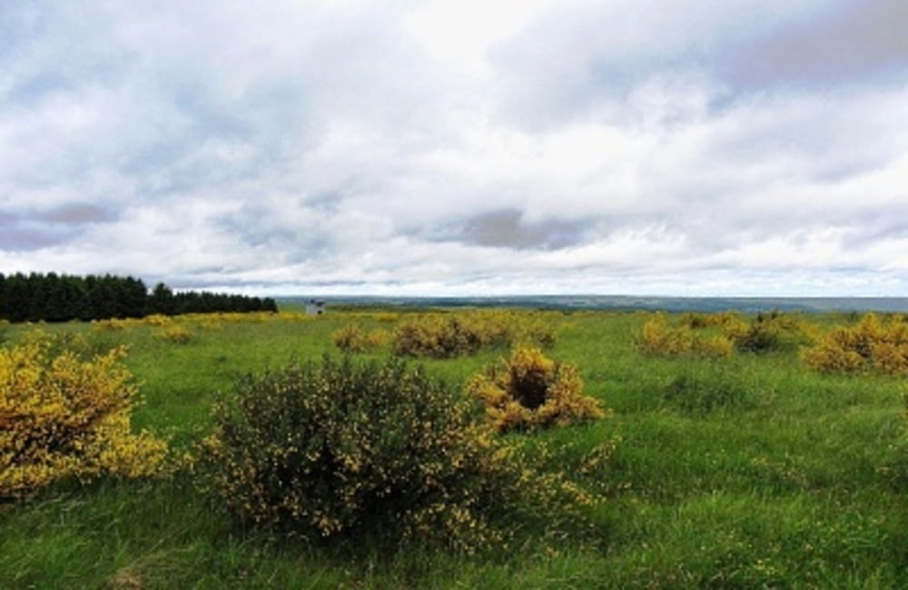
Fahrrad- bzw. auch Wander-Tour über die Dreiborner Hochfläche am Anfang mit starker Steigung bei Einruhr, hier darf dann auch mal ruhig abgestiegen werden. Die Mühe lohnt sich jedoch allemal, da Sie danach mit tollen Panormablicken über die Dreiborner Höhe bis ins Rurtal entschädigt werden. Auch für Pedelecs ist diese Tour geeignet. Start der Wanderung am Wanderparkplatz in Einruhr (Kostenpflichtig)
Siehe auch: der-eifelyeti
Further information at
http://der-eifelyeti.de/2017/02/09/dreiborner-hochflaeche/Mapa trasy i profil wysokości
Minimum height 284 m
Maximum height 581 m
Komentarze

GPS tracks
Trackpoints-
GPX / Garmin Map Source (gpx) download
-
TCX / Garmin Training Center® (tcx) download
-
CRS / Garmin Training Center® (crs) download
-
Google Earth (kml) download
-
G7ToWin (g7t) download
-
TTQV (trk) download
-
Overlay (ovl) download
-
Fugawi (txt) download
-
Kompass (DAV) Track (tk) download
-
Karta trasy (pdf) download
-
Original file of the author (gpx) download
Add to my favorites
Remove from my favorites
Edit tags
Open track
My score
Rate


