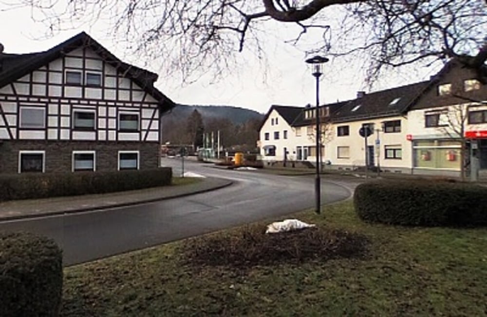
Für manchen ist Einruhr schlicht und ergreifend das „Dorf am See“. Auf unserer Wanderung werden wir aber recht bald merken, dass der Ort weitaus mehr an Sehenswürdigkeit und Geschichte zu bieten hat als seine zweifellos einmalige Lage am Obersee der Rurtalsperre, der zweitgrößten Talsperre Deutschlands. Eine anschließende Bootsfahrt mit dem Elektroboot "Seensucht" über den Obersee ist zu empfehlen. Eine umfangreiche Wegbeschreibung zu dieser Tour finden Sie auf dem beigefügten Flyer/PDF.
Flyer zur Tour: Download
weitere Dorfrundgänge siehe hier: der-eifelyeti
Further information at
http://der-eifelyeti.de/2017/02/20/einruhr/Mapa trasy i profil wysokości
Komentarze

GPS tracks
Trackpoints-
GPX / Garmin Map Source (gpx) download
-
TCX / Garmin Training Center® (tcx) download
-
CRS / Garmin Training Center® (crs) download
-
Google Earth (kml) download
-
G7ToWin (g7t) download
-
TTQV (trk) download
-
Overlay (ovl) download
-
Fugawi (txt) download
-
Kompass (DAV) Track (tk) download
-
Karta trasy (pdf) download
-
Original file of the author (gpx) download

