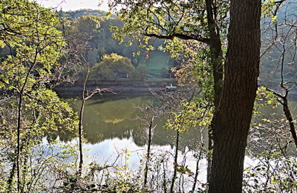
 Wie der Name der Wanderung schon andeutet
Dies ist eine abgespeckte Form der Wanderung "Orte der Kraft" und demzufolge aufgrund der Höhenunterschiede, die in dieser Form nicht zu bewältigen sind für die ganze Familie geeignet. Wir wandern vom Nationalpark Tor Heimbach zum Resort Eifeler Tor (Ferienanlage Landaal) und dann hinab ins Tal entlang des Staubeckens. Eine Tour wie der Titel "Romantische Ausblicke "
Weitere Touren: Heimbach
Further information at
http://der-eifelyeti.de/2017/02/22/romantische-ausblicke-auf-berg-und-see/Mapa trasy i profil wysokości
Minimum height 202 m
Maximum height 333 m
Komentarze

GPS tracks
Trackpoints-
GPX / Garmin Map Source (gpx) download
-
TCX / Garmin Training Center® (tcx) download
-
CRS / Garmin Training Center® (crs) download
-
Google Earth (kml) download
-
G7ToWin (g7t) download
-
TTQV (trk) download
-
Overlay (ovl) download
-
Fugawi (txt) download
-
Kompass (DAV) Track (tk) download
-
Karta trasy (pdf) download
-
Original file of the author (gpx) download
Add to my favorites
Remove from my favorites
Edit tags
Open track
My score
Rate

