Login

Zapomniałeś swój login?

Cookies have to be accepted!
Your browser's cookie functionality is disabled. Please enable this functionality.

Not a member yet?

Register now
Login

Available for registred users only

Log in to use this feature.

Zapomniałeś swój login?

Cookies have to be accepted!
Your browser's cookie functionality is disabled. Please enable this functionality.

Not a member yet?

Register now
Filter
Kategorie
Advanced filters
  • Długość (km)
  • Wysokość
Zapisz filtr Reset filter

TrackRank

QRCode

Technical data

Długość7,2 km Wysokość734 m Way down736 m Czas trwania00:00 h:m Data13.10.2017
Oceny Author Krajobraz Czynnik zadowolenia Kondycja Technika

Statystyka

230 Widoki Oceny 4 Downloads / Pliki do pobrania Przeciętnie
Rate
  • Karta trasy
  • Dojazd
  • Downloads / Pliki do pobrania
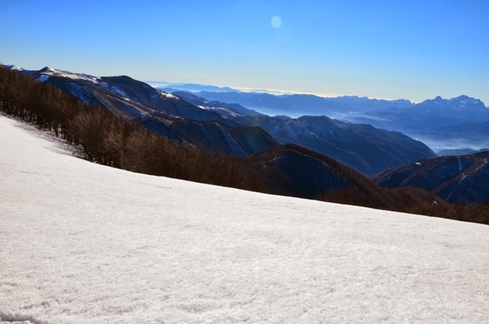
sci alpinistica abbastanza facile quando ci sono le condizioni e dalle altre parti è pericoloso attenzione sotto il Giovarello dalla parte sudest

Galeria trasy

Mapa trasy i profil wysokości

  • Open Street Map
  • Google
Minimum height 1101 m Maximum height 1757 m Widok szczegółowy

More about the tour author

bettoliroberto
Member since 2010

Send private message

Komentarze

GPS tracks

Trackpoints
  • GPX / Garmin Map Source (gpx) download
  • TCX / Garmin Training Center® (tcx) download
  • CRS / Garmin Training Center® (crs) download
  • Google Earth (kml) download
  • G7ToWin (g7t) download
  • TTQV (trk) download
  • Overlay (ovl) download
  • Fugawi (txt) download
  • Kompass (DAV) Track (tk) download
  • Karta trasy (pdf) download
  • Original file of the author (gpx) download

More about the tour author

bettoliroberto
Member since 2010

Send private message
Share track
Add to my favorites
Remove from my favorites
Edit tags
My score
Rate
Trasa: Giovarello
Rodzaj: Narty
Długość: 7,2 km
Evaluated on:
Czas trwania:
Day(s)
Hour(s)
Minute(s)
Ocena: Krajobraz Czynnik zadowolenia Kondycja Technika