Login

Zapomniałeś swój login?

Cookies have to be accepted!
Your browser's cookie functionality is disabled. Please enable this functionality.

Not a member yet?

Register now
Login

Available for registred users only

Log in to use this feature.

Zapomniałeś swój login?

Cookies have to be accepted!
Your browser's cookie functionality is disabled. Please enable this functionality.

Not a member yet?

Register now
Filter
Kategorie
Advanced filters
  • Długość (km)
  • Wysokość
Zapisz filtr Reset filter

TrackRank

QRCode

Technical data

Długość47,2 km Wysokość1457 m Way down1594 m Czas trwania00:00 h:m Data02.11.2017
Oceny Author Krajobraz Czynnik zadowolenia Kondycja Technika

Statystyka

223 Widoki Oceny 49 Downloads / Pliki do pobrania Przeciętnie
Rate
  • Karta trasy
  • Dojazd
  • Downloads / Pliki do pobrania

Route von Hand eingegeben, aber so gefahren


ACHTUNG! DER TRACK WURDE SEHR GROB EINDIGITALISIERT!!!

Unbedingt eine Feinplanung vornehmen!

Ich übernehme keine Haftung für evt. Schäden, Unfälle. Nachfahren der Tour ausschliesslich auf eigene Gefahr. Immer an mögliche Fahrverbote halten. Eventuelle Streckensperren sind zu beachten, ein Befahren befolgt auf eigene Verantwortung.

Dies gilt auch für alle anderen Tourabschnitte für diese Mehrtagestour.
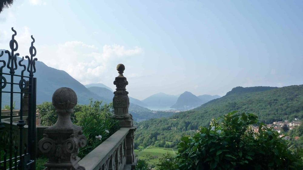
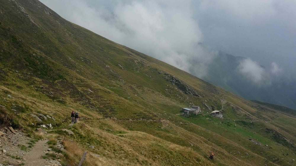
Galeria trasy

Mapa trasy i profil wysokości

  • Open Street Map
  • Google
Minimum height 198 m Maximum height 1610 m Widok szczegółowy

More about the tour author

Flitz
Member since 2009

Send private message

Komentarze

GPS tracks

Trackpoints
  • GPX / Garmin Map Source (gpx) download
  • TCX / Garmin Training Center® (tcx) download
  • CRS / Garmin Training Center® (crs) download
  • Google Earth (kml) download
  • G7ToWin (g7t) download
  • TTQV (trk) download
  • Overlay (ovl) download
  • Fugawi (txt) download
  • Kompass (DAV) Track (tk) download
  • Karta trasy (pdf) download
  • Original file of the author (gpx) download

More about the tour author

Flitz
Member since 2009

Send private message
Share track
Add to my favorites
Remove from my favorites
Edit tags
My score
Rate
Trasa: Alpen: 5 1/2 Seencross: Etappe 01/06 Lugano-Menaggio
Rodzaj: Rower górski (MTB)
Długość: 47,2 km
Evaluated on:
Czas trwania:
Day(s)
Hour(s)
Minute(s)
Ocena: Krajobraz Czynnik zadowolenia Kondycja Technika