
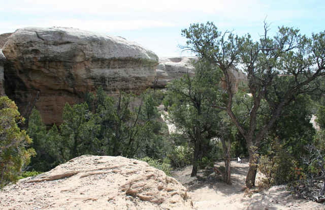

Legendäre Trails, die Höhenmeter werden praktisch in der "Ebene" gemacht, es geht immer hin und her, auf und ab.
Statt das Fahrzeug am Wegweise abzustellen, kann man auch noch ein Stück weiter zum Trailhead fahren.
Statt das Fahrzeug am Wegweise abzustellen, kann man auch noch ein Stück weiter zum Trailhead fahren.
Galeria trasy

Mapa trasy i profil wysokości
Minimum height 1541 m
Maximum height 1658 m
More about the tour author
|
|
RandB |
Komentarze

Die Anfahrt ist ein wenig tricky, da man seht weit über Schotter fahren muss.
Alternative 1: EHw59 bis zum Schild "Scenic Backway", dann links bis zu einem Gatter, an dem GOOSE steht. Dort rein, noch ein paar Meilen und schon ist man da
Alternative 2: Hw9 bis Grafton oder Rockville und dann hoch. Dieser Weg ist holpriger und länger auf Schotter, als Alternative 1.
Anfahrts - GPX gerne per PM.
GPS tracks
Trackpoints-
GPX / Garmin Map Source (gpx) download
-
TCX / Garmin Training Center® (tcx) download
-
CRS / Garmin Training Center® (crs) download
-
Google Earth (kml) download
-
G7ToWin (g7t) download
-
TTQV (trk) download
-
Overlay (ovl) download
-
Fugawi (txt) download
-
Kompass (DAV) Track (tk) download
-
Karta trasy (pdf) download
-
Original file of the author (gpx) download
More about the tour author
|
|
RandB |
Add to my favorites
Remove from my favorites
Edit tags
Open track
My score
Rate