


Die Tour startet am Gasthof Grabs (Hinweis die Seilbahn existiert nicht mehr, es gibt aber einen Bus ab Bahnhof Schruns (9:30, 12:30 (nur Wochenende) und 16:30 Uhr ), es geht rund 200 Meter bergab und dann recht schnell ins Gampadeltal.
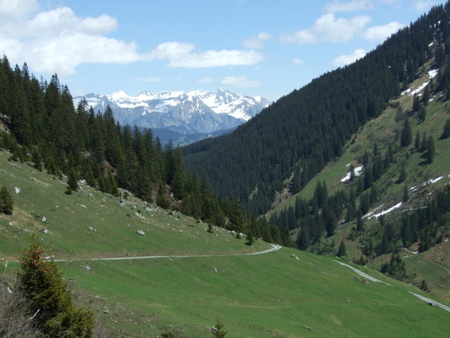
Im Gampadeltal geht es langsam aber stetig bergauf, vorbei an einer wunderschönen Landschaft. Es gibt unterwegs keine Verpflegungsstelle aber Natur pur. Der Weg endet am kleinen Stausee und ist auch mit Turnschuhen begehbar.
Als Plus liefere ich noch jede Menge Montafon-Wegpunkte mit.
Im Gampadeltal geht es langsam aber stetig bergauf, vorbei an einer wunderschönen Landschaft. Es gibt unterwegs keine Verpflegungsstelle aber Natur pur. Der Weg endet am kleinen Stausee und ist auch mit Turnschuhen begehbar.
Als Plus liefere ich noch jede Menge Montafon-Wegpunkte mit.
Further information at
http://gasthof-grabs.com/Galeria trasy
Mapa trasy i profil wysokości
Minimum height 1139 m
Maximum height 1551 m
More about the tour author

|
Komentarze
Anfahrt über Montafon-Schruns und Grabs-Bus. Achtung Grabs-Seilbahn gibt es nicht mehr!
GPS tracks
Trackpoints-
GPX / Garmin Map Source (gpx) download
-
TCX / Garmin Training Center® (tcx) download
-
CRS / Garmin Training Center® (crs) download
-
Google Earth (kml) download
-
G7ToWin (g7t) download
-
TTQV (trk) download
-
Overlay (ovl) download
-
Fugawi (txt) download
-
Kompass (DAV) Track (tk) download
-
Karta trasy (pdf) download
-
Original file of the author (gpx) download
More about the tour author
|
|
Add to my favorites
Remove from my favorites
Edit tags
Open track
My score
Rate
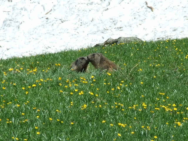
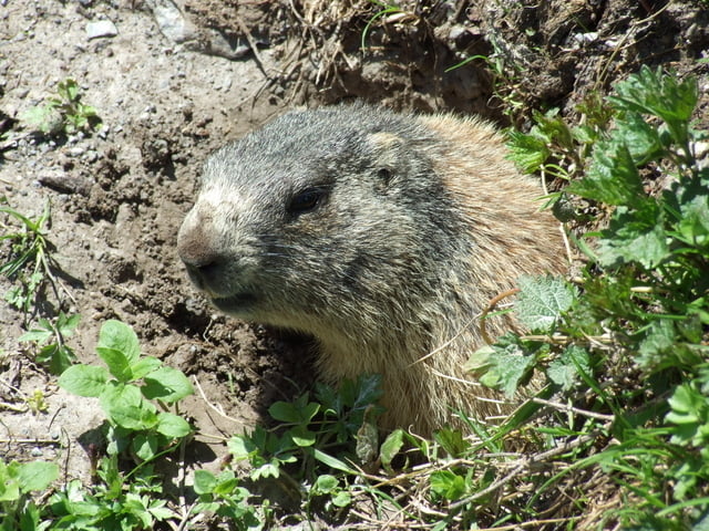
Murmeltiere