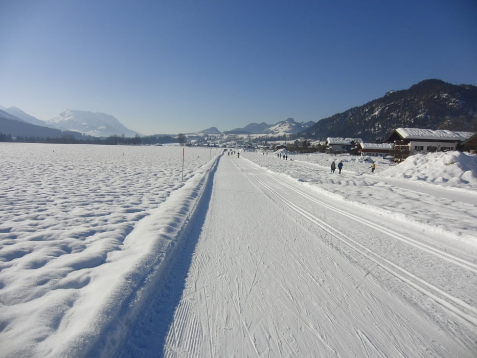
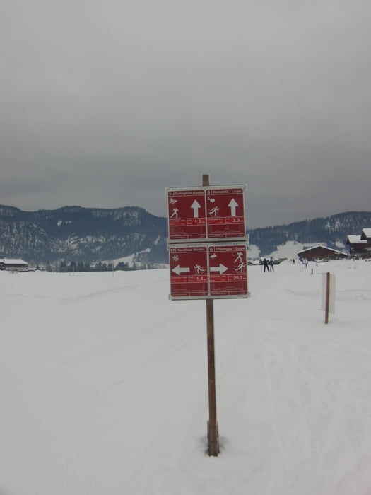
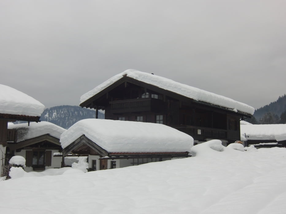
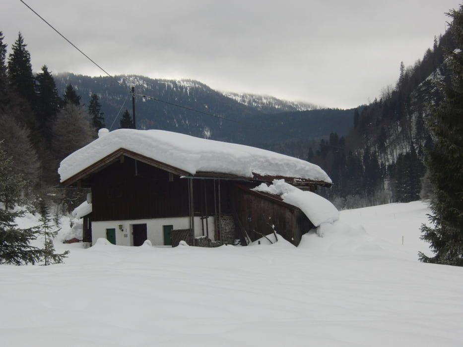
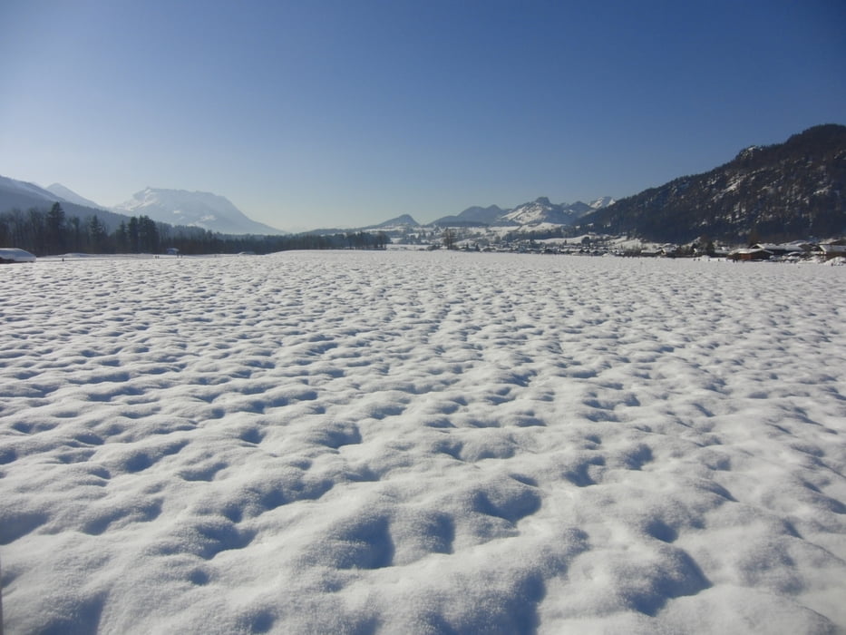
Die Loipen in Reit im Winkl waren sehr gut präpariert. Noch im Chiemgau denkt man, wo denn der Schnee für eine Loipe ist. Aber in Reit im Winkl lagen 80cm Schnee. Es ging supergut.
Der Bus der Langlauf.company hielt wie immer am Theresienhof mitten in Reit im Winkl. Von dort sind es nur ein paar Meter auf die Loipe. Die Loipe ist einfach zu fahren. Einmal an den Benzeckliften und am Wildgehege gehts relativ steil rauf und bei der Einfahrt ins Schwarzlofer-Tal steil runter. Bei griffigen Bedingungen keine Problem.
Eingekehrt sind wir in der Seegatterl Alm. Nach wie vor gut und schnell. Immer wieder angenehm dort Pause zu machen.
Die Rückfahrt ist dann sehr flott, da es stetig runter geht im Lofer-Tal. Auf der Sonnen-Loipe haben wir dann noch eine Runde gedreht, so dass es fast 30km geworden sind.
Further information at
http://www.reitimwinkl.de/skigebiet-bayern-schneeberichtGaleria trasy
Mapa trasy i profil wysokości
Komentarze

Über die A8 bis Bernau fahren und dann über Markquartstein bis Reit im Winkl fahren. Wir stehen immer am Theresienhof. Parken kann man sonst am Stadion.
Loipengebühr wird in Reit im Winkl keine mehr verlangt. Anscheinend war das Eintreiben teurer, als die Gebühr gebracht hat.
GPS tracks
Trackpoints-
GPX / Garmin Map Source (gpx) download
-
TCX / Garmin Training Center® (tcx) download
-
CRS / Garmin Training Center® (crs) download
-
Google Earth (kml) download
-
G7ToWin (g7t) download
-
TTQV (trk) download
-
Overlay (ovl) download
-
Fugawi (txt) download
-
Kompass (DAV) Track (tk) download
-
Karta trasy (pdf) download
-
Original file of the author (gpx) download

