
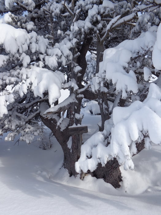

Vom Parkplatz auf der nördlichen Seite des Gosausees bis zum Hinweisschild Ebenalm. Hier abzweigen und nach drei Kehren rechts hinauf entlang des Waldweges Richtung Ebenalm. Den Bärentalgraben hoch zu einer Forststraße, die von der Ebenalm herüber führt. Gleich danach nach links und einen Ziehweg bis zu einem breiten Schlag folgen. Diesen steil hinauf. Wenn das Gelände flacher wird, weiter gerade hinauf, dann etwas rechts haltend auf den Rücken und zum markanten Baum mit der Beschilderung des Zwoiferls.
In gleicher Richtung und etwa 100 Hm entfernt ist die Modereckhöhe, die ebenfalls noch mitgenommen werden kann.
Rückweg wie Anstiegsweg.
Galeria trasy
Mapa trasy i profil wysokości
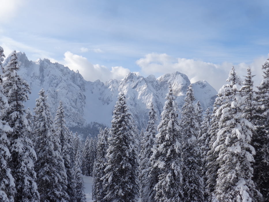
Minimum height 910 m
Maximum height 1685 m
More about the tour author

|
JoHangler |
Komentarze

Von Bad Ischl über Bad Goisern nach Gosau. Zurück bis zum letzten Parkplatz beim Vd. Gosausee.
GPS tracks
Trackpoints-
GPX / Garmin Map Source (gpx) download
-
TCX / Garmin Training Center® (tcx) download
-
CRS / Garmin Training Center® (crs) download
-
Google Earth (kml) download
-
G7ToWin (g7t) download
-
TTQV (trk) download
-
Overlay (ovl) download
-
Fugawi (txt) download
-
Kompass (DAV) Track (tk) download
-
Karta trasy (pdf) download
-
Original file of the author (gpx) download
More about the tour author
|
|
JoHangler |
Add to my favorites
Remove from my favorites
Edit tags
Open track
My score
Rate