Login

Zapomniałeś swój login?

Cookies have to be accepted!
Your browser's cookie functionality is disabled. Please enable this functionality.

Not a member yet?

Register now
Login

Available for registred users only

Log in to use this feature.

Zapomniałeś swój login?

Cookies have to be accepted!
Your browser's cookie functionality is disabled. Please enable this functionality.

Not a member yet?

Register now
Filter
Kategorie
Advanced filters
  • Długość (km)
  • Wysokość
Zapisz filtr Reset filter

TrackRank

QRCode

Technical data

Długość14,1 km Wysokość1175 m Way down1258 m Czas trwania03:45 h:m Data07.02.2018
Oceny Author Krajobraz Czynnik zadowolenia Kondycja Technika

Statystyka

410 Widoki Oceny 15 Downloads / Pliki do pobrania Przeciętnie
Rate
  • Karta trasy
  • Dojazd
  • Downloads / Pliki do pobrania

Über Kreithof und Dolomitenhütte, wo wir auf dem Rückweg eingekehrt sind. Empfehlenswert.


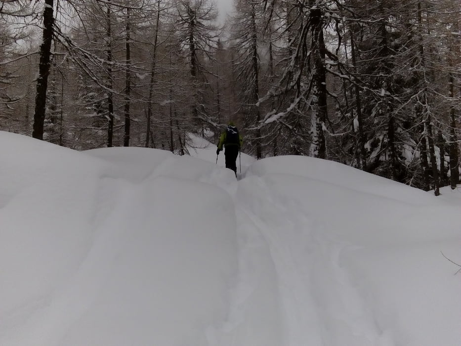
Angenehme Steigung auf den Lienzer Hausberg, einiges auf einer präparierten Piste.

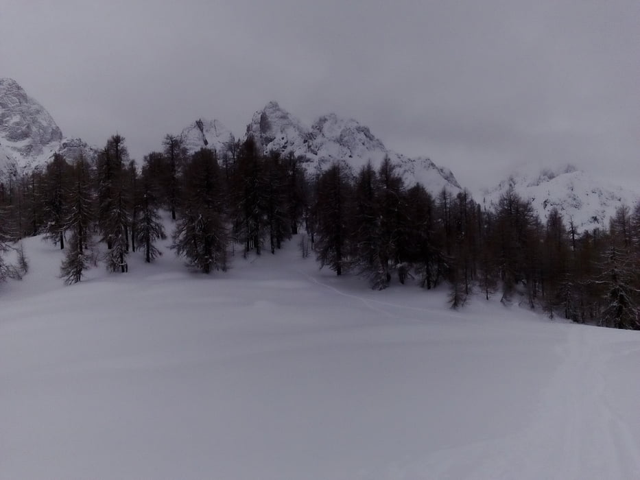
Es gibt trotzdem genug freie Hänge, die, obwohl schon zerfahren, gut fahrbar sind . Fast durchgehend Schneefall.

Galeria trasy

Mapa trasy i profil wysokości

  • Open Street Map
  • Google
Minimum height 794 m Maximum height 2070 m Widok szczegółowy

More about the tour author

mitter
Member since 2008

Send private message

Komentarze

Start auf der Dolomitenstraße (soweit wir auf der frisch verschneiten, noch nicht geräumten gekommen sind), ca 150hm unterm Kreithof, wo die Tour normalerweise gestartet wird.

GPS tracks

Trackpoints
  • GPX / Garmin Map Source (gpx) download
  • TCX / Garmin Training Center® (tcx) download
  • CRS / Garmin Training Center® (crs) download
  • Google Earth (kml) download
  • G7ToWin (g7t) download
  • TTQV (trk) download
  • Overlay (ovl) download
  • Fugawi (txt) download
  • Kompass (DAV) Track (tk) download
  • Karta trasy (pdf) download
  • Original file of the author (gpx) download

More about the tour author

mitter
Member since 2008

Send private message
Share track
Add to my favorites
Remove from my favorites
Edit tags
My score
Rate
Trasa: Auerlingköpfl 180207
Rodzaj: Narty
Długość: 14,1 km
Evaluated on:
Czas trwania:
Day(s)
Hour(s)
Minute(s)
Ocena: Krajobraz Czynnik zadowolenia Kondycja Technika