Login

Zapomniałeś swój login?

Cookies have to be accepted!
Your browser's cookie functionality is disabled. Please enable this functionality.

Not a member yet?

Register now
Login

Available for registred users only

Log in to use this feature.

Zapomniałeś swój login?

Cookies have to be accepted!
Your browser's cookie functionality is disabled. Please enable this functionality.

Not a member yet?

Register now
Filter
Kategorie
Advanced filters
  • Długość (km)
  • Wysokość
Zapisz filtr Reset filter

TrackRank

QRCode

Technical data

Długość14,0 km Wysokość1278 m Way down1263 m Czas trwania04:50 h:m Data09.02.2018
Oceny Author Krajobraz Czynnik zadowolenia Kondycja Technika

Statystyka

402 Widoki Oceny 17 Downloads / Pliki do pobrania Przeciętnie
Rate
  • Karta trasy
  • Dojazd
  • Downloads / Pliki do pobrania
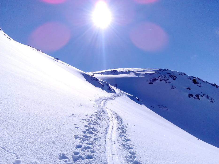
Das herrliche Wetter hat uns den Anstieg zum großen Erlebnis werden lassen! Die letzten 600 hm hatten wir ständig den Glockner vor Augen. Am Gipfel hat das Wetter umgeschlagen. Die Abfahrt war nicht ganz einfach von den Schneeverhältnissen her. Schon fast am Ziel haben wir uns noch ein bisschen verkoffert… sind ein wenig zu tief runter gekommen.    Alles in allem eine sehr gelungene Tour!

Galeria trasy

Mapa trasy i profil wysokości

  • Open Street Map
  • Google
Minimum height 1897 m Maximum height 3152 m Widok szczegółowy

More about the tour author

mitter
Member since 2008

Send private message

Komentarze

Start beim Lucknerhaus. Parkgebühr + Straßenmaut bis sechs Stunden 7€.

GPS tracks

Trackpoints
  • GPX / Garmin Map Source (gpx) download
  • TCX / Garmin Training Center® (tcx) download
  • CRS / Garmin Training Center® (crs) download
  • Google Earth (kml) download
  • G7ToWin (g7t) download
  • TTQV (trk) download
  • Overlay (ovl) download
  • Fugawi (txt) download
  • Kompass (DAV) Track (tk) download
  • Karta trasy (pdf) download
  • Original file of the author (gpx) download

More about the tour author

mitter
Member since 2008

Send private message
Share track
Add to my favorites
Remove from my favorites
Edit tags
My score
Rate
Trasa: Böses Weibl 180209
Rodzaj: Narty
Długość: 14,0 km
Evaluated on:
Czas trwania:
Day(s)
Hour(s)
Minute(s)
Ocena: Krajobraz Czynnik zadowolenia Kondycja Technika