


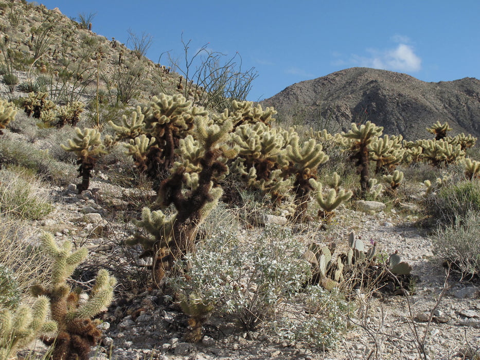
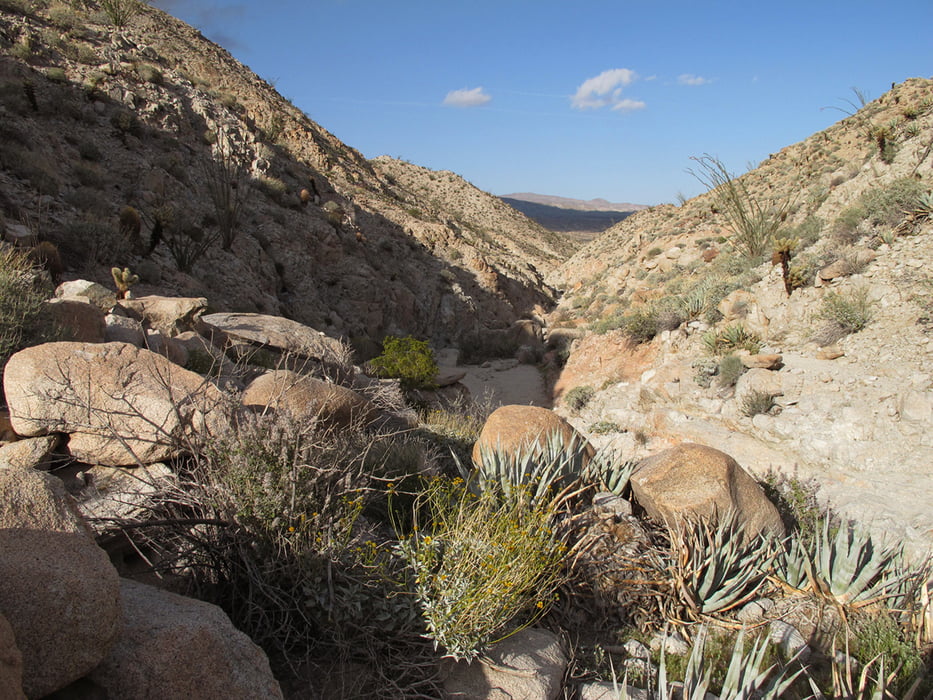
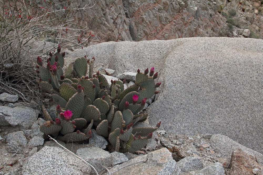
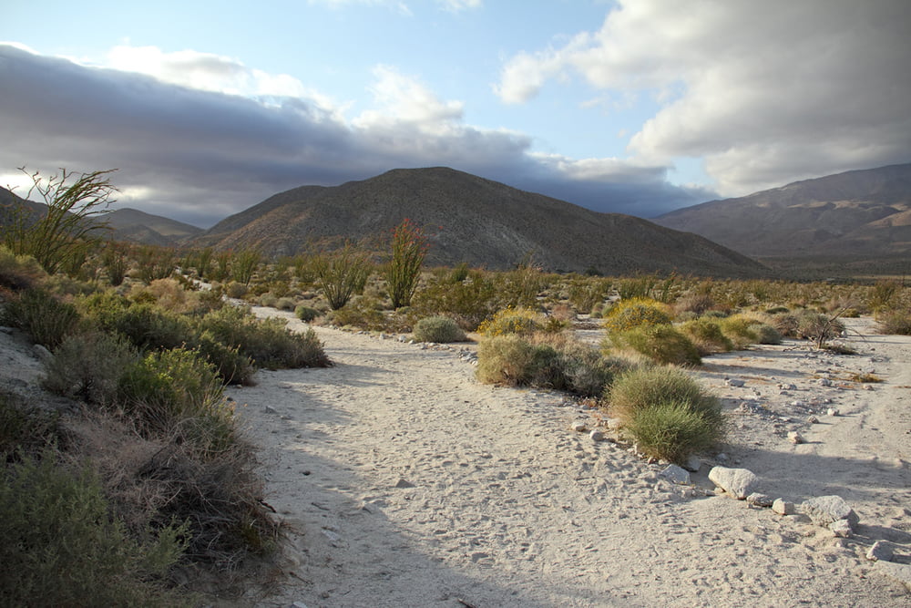
Diese malerische Rund-Wanderung im Aqua Caliente County Park (direkt am Anza Borrego Desert State Park gelegen) führt zunächst einen Berg hinauf an einer Palmen-Oase entlang und dann hinab durch den Moonlight-Canyon mit sehr abwechslungsreicher Wüstenvegetation, wo man Ocotillos und verschiedene Kakteenarten wie Chollas, Barrels und Beaver Tails findet, mit etwas Glück auch blühend. Wir waren hier Ende März, da ist die Wahrscheinlichkeit dafür recht hoch.
Die Wanderung ist nicht sonderlich schwer, an manchen Stellen muss man ein paar Steinhindernisse überwinden, an einem steilen Abschnitt sind Stufen in den Fels gehauen, so dass man auch hier gut weiter kommt. Am besten macht man die Wanderung im Nachmittagslicht, da kommen die Farben der Landschaft am besten zur Geltung.
Galeria trasy
Mapa trasy i profil wysokości
Minimum height 386 m
Maximum height 494 m
More about the tour author
|
|
Carlos19 |
Komentarze

Fahren Sie im Anza Borrego State Park auf der S2 nach Süden und biegen in die Agua Caliente Spring Road ab. Beim Camp Ground gibt es Parkplätze, von hier aus beginnt die Wanderung.
GPS tracks
Trackpoints-
GPX / Garmin Map Source (gpx) download
-
TCX / Garmin Training Center® (tcx) download
-
CRS / Garmin Training Center® (crs) download
-
Google Earth (kml) download
-
G7ToWin (g7t) download
-
TTQV (trk) download
-
Overlay (ovl) download
-
Fugawi (txt) download
-
Kompass (DAV) Track (tk) download
-
Karta trasy (pdf) download
-
Original file of the author (gpx) download
More about the tour author
|
|
Carlos19 |
Add to my favorites
Remove from my favorites
Edit tags
Open track
My score
Rate