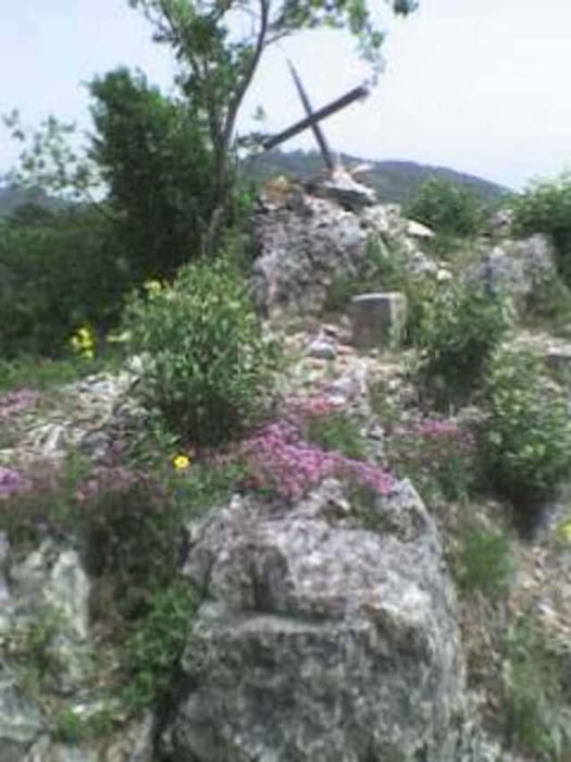
200 Meter Straße nach Süden weitergehen. Unmittelbar nach einem Reitstall links, die blaue Markierung. Bei einem Wegtaferl die linke(nördl.)Variante wählen. Es gibt schöne Ausblicke zum Ausgangspunkt, man darf sich freuen, wieviel Höhe man in kurzer Zeit gewonnen hat. Eine Felswand ist rechts zu umgehen. Bei ca.600 Hm gibt es einen hübschen Felsbogen mit einer Höhle. Diese trägt die Aufschrift 1862/8b. Bei einem Jungwald auf den GPS schauen, sonst versäumst Du - so wie ich - die Rechtsabzweigung der blauen Markierung. Am Gipfel ist ein Triangulierungsstein, daher exakte Höhe 750m, ein ganz mikriges Kreuz (siehe Händyfoto), aber ein schöner Rundblick. Gleicher Weg zurück bis zu dem erwähnten Jungwald, von da Abstieg durch den Mühlsteiggraben. Das Ganze dauert etwa zwei Stunden, ist sehr lohnend aber teilweise sehr steil. Kein Spazierweg!
Mapa trasy i profil wysokości
Minimum height 441 m
Maximum height 750 m
Komentarze

Piestingtal in Reichental nach Süden abbiegen, 3Km. nach Miesenbach bis zur Abzweigung Frohnberg. Dort steht eine rot-weiß-rote Kuh.
GPS tracks
Trackpoints-
GPX / Garmin Map Source (gpx) download
-
TCX / Garmin Training Center® (tcx) download
-
CRS / Garmin Training Center® (crs) download
-
Google Earth (kml) download
-
G7ToWin (g7t) download
-
TTQV (trk) download
-
Overlay (ovl) download
-
Fugawi (txt) download
-
Kompass (DAV) Track (tk) download
-
Karta trasy (pdf) download
-
Original file of the author (gpx) download
Add to my favorites
Remove from my favorites
Edit tags
Open track
My score
Rate

