
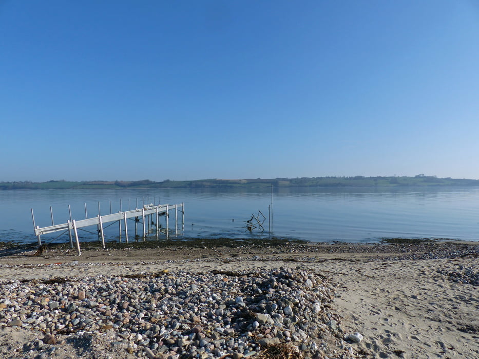

Die Rundtour führt im ersten Teil an der Kliffkante entlang mit sehr schöner Aussicht, es geht hoch und runter auf kleinen Pfaden. Am Ende des Steilküstenpfades ist der Krog/Campingplatz Broager Strand zu sehen. Wer eine Erfrischung braucht, kann dort hingehen, unser Weg führt jedoch rechts auf eine asphaltierte kleine Strasse. Es folgt für ca. 25 Min. eine asphaltierte Strecke, welche zu einem Wegteil überleitet, welcher wieder zahlreiche Hügel aufweist und am Ende über verschlungene Pfade zum Ausganspunkt führt. Am Ausgangspunkt sowie besonders in Vemmingbund kann man gut baden/schwimmen.
Galeria trasy


Mapa trasy i profil wysokości
Minimum height -3 m
Maximum height 39 m
More about the tour author

|
cce24 |
Komentarze

Richtung Sønderborg auf der A8 bzw 401 über Egernsund fahren.
Es kommt eine Kreuzung mit Wegweiser Broager. An dieser Kreuzung befindet sich eine Tankstelle rechts.Diese Kreuzung NICHT nehmen, sondern die nächste rechts ( Dyntvej ) Richtung Vemmingbund/Dynt. In Dynt links abbiegen Richtung Vemmingbund, dann rechts Richtung Gammelmark. Diese kleine Strasse führt an einem Campingplatz vorbei. Am Ende, direkt am Strand, befindet sich dann ein öffentlicher Parkplatz, Start unserer Tour.
GPS tracks
Trackpoints-
GPX / Garmin Map Source (gpx) download
-
TCX / Garmin Training Center® (tcx) download
-
CRS / Garmin Training Center® (crs) download
-
Google Earth (kml) download
-
G7ToWin (g7t) download
-
TTQV (trk) download
-
Overlay (ovl) download
-
Fugawi (txt) download
-
Kompass (DAV) Track (tk) download
-
Karta trasy (pdf) download
-
Original file of the author (gpx) download
More about the tour author
|
|
cce24 |
Add to my favorites
Remove from my favorites
Edit tags
Open track
My score
Rate