

- .Rundkurs im Uhrzeigersinn
- Start/Ziel: Tscherms(Meran).
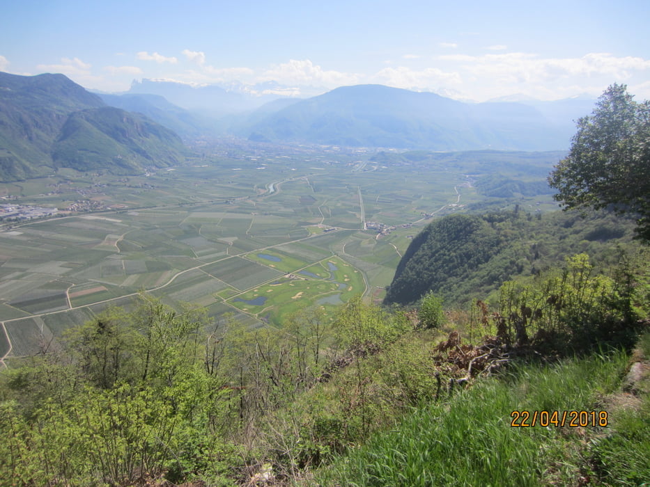
- Von Tscherms (MH 272) auf asphaltierten Wiesenwegen nach Unterrain (KM 23-MH 259).
- Aufstieg nach St. Pauls (KM 25,4-MH 398) BRUNNEN.
- Weiter auf asphaltierter Nebenstrasse (mittelsteil, einige kurze steile Abschnitte) nach Perdonig (KM 31,7-MH 794) Brunnen. Panorama-Gasthof "Lipp" (Montag Ruhetag) (KM 32,9-MH797).
- Weiter zum Gasthof "Moarhof"(Donnerstag Ruhetag) (KM35,9-MH901).
- Höchster Punkt der Tour (KM 37,1-MH 1.000). Nach 100 MT. Trail (S1). Weiter auf mittelsteilem Schotterweg bis zum Beginn der asphaltierten Strasse (KM 40-MH624). Weiter ins Tal nach Nals (KM 42,9-MH 342) BRUNNEN.
- Auf geteerten Wiesenwegen, vorbei am Gasthof "Krebsbach" (KM 49,1), zurück zum Ausgangspunkt (KM 57,9).
PS. Dank an den Bike-Kollegen Günther Kollmann, welcher diese schöne Tour geführt hat.
Galeria trasy


Mapa trasy i profil wysokości
Minimum height 214 m
Maximum height 999 m
More about the tour author
|
|
MargesinFriedrich |
Komentarze

GPS tracks
Trackpoints-
GPX / Garmin Map Source (gpx) download
-
TCX / Garmin Training Center® (tcx) download
-
CRS / Garmin Training Center® (crs) download
-
Google Earth (kml) download
-
G7ToWin (g7t) download
-
TTQV (trk) download
-
Overlay (ovl) download
-
Fugawi (txt) download
-
Kompass (DAV) Track (tk) download
-
Karta trasy (pdf) download
-
Original file of the author (gpx) download
More about the tour author
|
|
MargesinFriedrich |
Add to my favorites
Remove from my favorites
Edit tags
Open track
My score
Rate