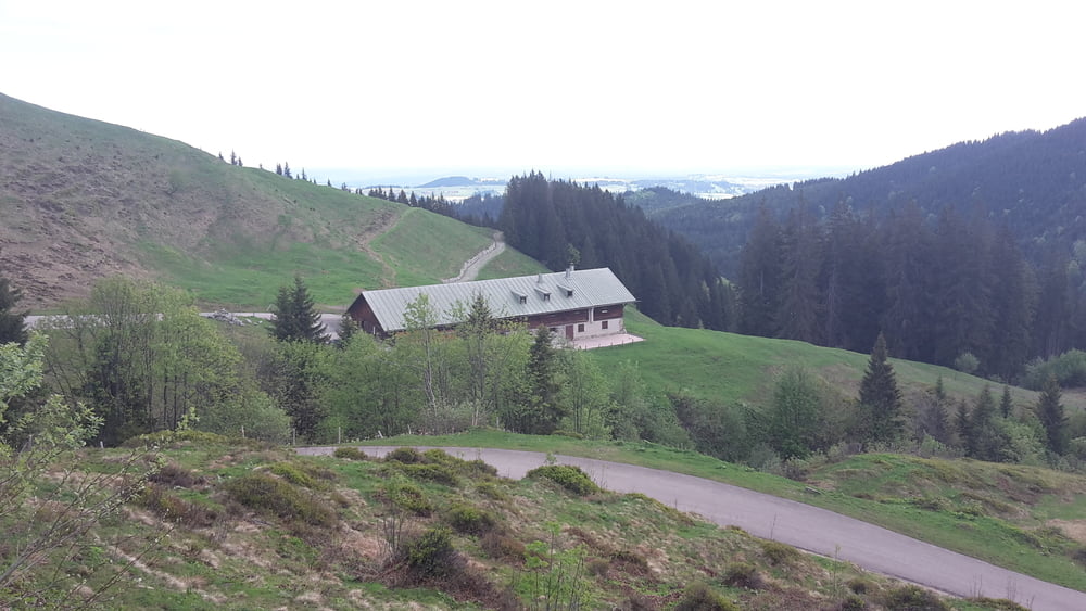
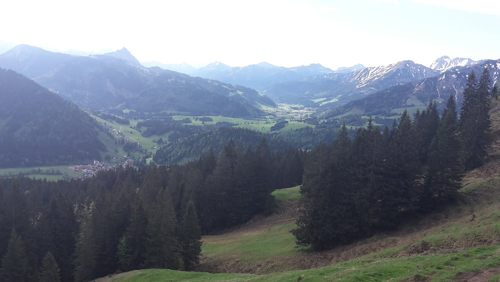
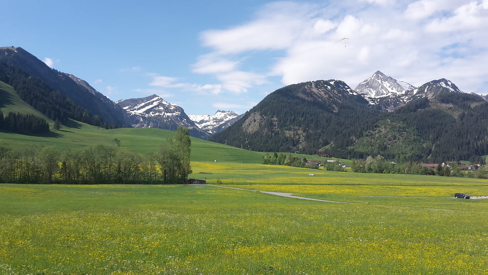
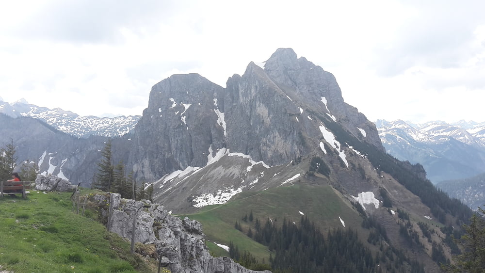
Von Wertach zur Schnitzeralpe und dann hinunter ins Tannheimertal, weiter Richtung Grän und zur Ostlerhütte, sehr schwerer Anstieg und ab Bergstation schieben angesagt bis zur Ostlerhütte. Von der Osterlerhütte runter nach Pfronten zum Vilstal und hinauf zur Stubenalpe und weiter nach Wertach
https://ostlerhuette.panomax.com/
Galeria trasy
Mapa trasy i profil wysokości
Minimum height 850 m
Maximum height 1820 m
Komentarze

GPS tracks
Trackpoints-
GPX / Garmin Map Source (gpx) download
-
TCX / Garmin Training Center® (tcx) download
-
CRS / Garmin Training Center® (crs) download
-
Google Earth (kml) download
-
G7ToWin (g7t) download
-
TTQV (trk) download
-
Overlay (ovl) download
-
Fugawi (txt) download
-
Kompass (DAV) Track (tk) download
-
Karta trasy (pdf) download
-
Original file of the author (gpx) download
Add to my favorites
Remove from my favorites
Edit tags
Open track
My score
Rate


