

Dachsteinrunde Tag 2
Dachsteinrunde Blau gefahren mit E-ONESixty800
Start der zweiten Etappe der Tour ist bei unserer Unterkunft in Pruggern.
Wir fahren die am Vortag bereits bei der Anreise gefahrene Strecke retour bis zur Enns wo wir wieder in die Dachsteinrunde einsteigen.
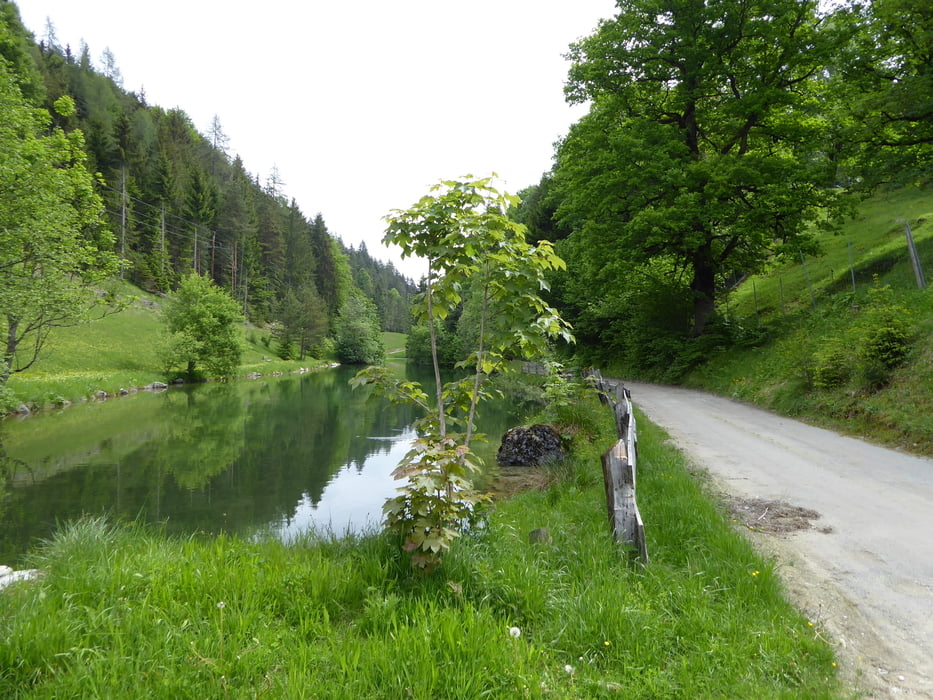
Entlang der Enns geht es auf Feld und Wiesenweg flott dahin. Unsere Unterkunft auf der linken Hangseite ist jetzt besonders gut zu sehen.
Bei Pruggern kurze Umleitung wegen einer Reitsportveranstaltung.
Bei Weißenbach kommt die erste Bergwertung.
Mittagsrast bei KM 36,3 direkt neben der L711 bei einem gemütlichen bodenständigen Gasthaus.
Entlang des Schildlehenbaches geht es flott bergab dahin.
Das Tagesziel für heute ist Annaberg
Dachsteinrunde Blau gefahren mit E-ONESixty800
Alle 3 Etappen auf einem Streich
https://www.gps-tour.info/de/touren/detail.163556.html
https://www.gps-tour.info/de/touren/detail.163557.html
https://www.gps-tour.info/de/touren/detail.163558.html
Galeria trasy


Mapa trasy i profil wysokości
Minimum height 673 m
Maximum height 1301 m
More about the tour author
|
|
Hoar |
Komentarze

GPS tracks
Trackpoints-
GPX / Garmin Map Source (gpx) download
-
TCX / Garmin Training Center® (tcx) download
-
CRS / Garmin Training Center® (crs) download
-
Google Earth (kml) download
-
G7ToWin (g7t) download
-
TTQV (trk) download
-
Overlay (ovl) download
-
Fugawi (txt) download
-
Kompass (DAV) Track (tk) download
-
Karta trasy (pdf) download
-
Original file of the author (gpx) download
More about the tour author
|
|
Hoar |
Add to my favorites
Remove from my favorites
Edit tags
Open track
My score
Rate