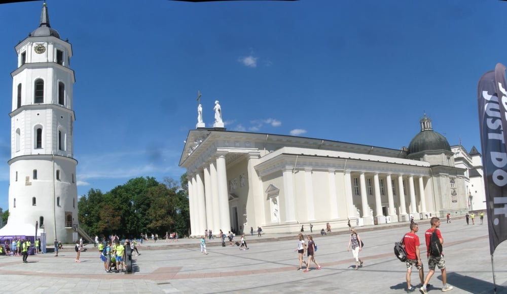
Vilnius, Trakai, Kaunas, Rusne, Nida, Nehrung große Klasse!
Zum Teil heftigen Gegenwind, viele schöne Übernachtungen und sehr hilfsbereite Menschen.
Wegen schlechter Strassen(tiefe schottrige Landstrassen!!) haben wir kleinere Strassen gemieden und sind von Kaisiadorys und Kaunas die Bahn genommen. Von Silute bis Nida hat uns die Fähre transportiert. Empfohlene Reifenbreite 47 mm.
Galeria trasy
Mapa trasy i profil wysokości
Minimum height -5 m
Maximum height 191 m
Komentarze

Mit Flugzeug nach Vilnius, Flughafen von Palanga ist sehr klein mit wenig Flügen.
GPS tracks
Trackpoints-
GPX / Garmin Map Source (gpx) download
-
TCX / Garmin Training Center® (tcx) download
-
CRS / Garmin Training Center® (crs) download
-
Google Earth (kml) download
-
G7ToWin (g7t) download
-
TTQV (trk) download
-
Overlay (ovl) download
-
Fugawi (txt) download
-
Kompass (DAV) Track (tk) download
-
Karta trasy (pdf) download
-
Original file of the author (gpx) download
Add to my favorites
Remove from my favorites
Edit tags
Open track
My score
Rate


