
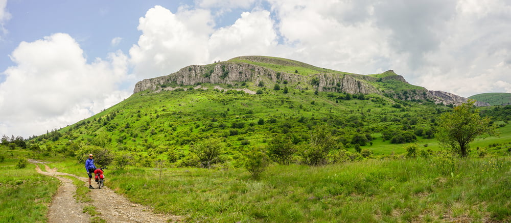

9 tägige Mountainbike Tour im Bereich des westl. Balkan . Start unmittelbar nach der Grenze bei Kalotina. Entlang der idyllischen Nishava nach Godetsch. Weiter nach Iskrets. Über die Hochebene von Zimevitsa - hinab ins Tal des Iskar - Gara Lakatnik - Lyutibrod - Mezdra - Roman - Karlukovo - Yablanitsa - Teteven - Troyan - über den Troyan Paß ins Rosental und über Koprivshtitsa bis nach Plovdiv.
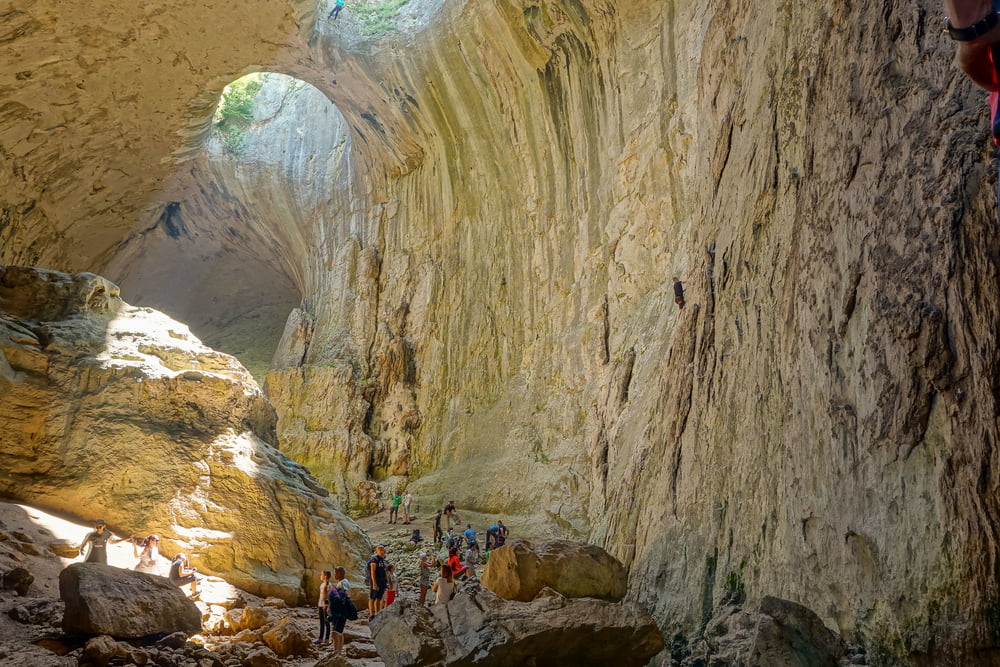
Traumhafte Natur - viele Klöster - herrliche Felslandschaften - Mix aus Asphaltstraßen - Schotterstraßen und teilweise Karrenwege.
Galeria trasy


Mapa trasy i profil wysokości
Minimum height 131 m
Maximum height 1586 m
More about the tour author
|
|
hutti |
Komentarze

GPS tracks
Trackpoints-
GPX / Garmin Map Source (gpx) download
-
TCX / Garmin Training Center® (tcx) download
-
CRS / Garmin Training Center® (crs) download
-
Google Earth (kml) download
-
G7ToWin (g7t) download
-
TTQV (trk) download
-
Overlay (ovl) download
-
Fugawi (txt) download
-
Kompass (DAV) Track (tk) download
-
Karta trasy (pdf) download
-
Original file of the author (gpx) download
More about the tour author
|
|
hutti |
Add to my favorites
Remove from my favorites
Edit tags
Open track
My score
Rate