

Möderatsch-Rudnig Alm-Nassfeldpass-Garnitzenalm-
Egger Alm-Möderatsch
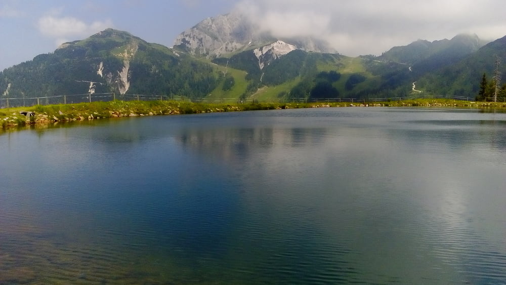
Bis Tröpolach auf dem Gailtalradweg R3, dann geht’s zunächst mal ca. 3,5 km eine kaum frequentierte Asphaltstraße bergan, bis endlich die Stollen auf der Schotterpiste ihren Sinn bekommen. Einkehr in der Rudnighütte in der Sonne mit cshönem Panoramablick. Weiter zum Nassfeldpass steigt es stetig an. Da sind dann schon gute 1200 hm absolviert. Rüber zur Garnitzenalm. Der Weg Richtung Egger Alm ist weiter auf Schotter gut fahrbar. Von da geht es auf der Straße rasant eine offizielle MTB Route hinab zurück zum Ausgangspunkt. Eine konditionell fordernde, weitgehend einfach zu fahrende Tour mit schönem Panorama.
Bis Tröpolach auf dem Gailtalradweg R3, dann geht’s zunächst mal ca. 3,5 km eine kaum frequentierte Asphaltstraße bergan, bis endlich die Stollen auf der Schotterpiste ihren Sinn bekommen. Einkehr in der Rudnighütte in der Sonne mit cshönem Panoramablick. Weiter zum Nassfeldpass steigt es stetig an. Da sind dann schon gute 1200 hm absolviert. Rüber zur Garnitzenalm. Der Weg Richtung Egger Alm ist weiter auf Schotter gut fahrbar. Von da geht es auf der Straße rasant eine offizielle MTB Route hinab zurück zum Ausgangspunkt. Eine konditionell fordernde, weitgehend einfach zu fahrende Tour mit schönem Panorama.
Galeria trasy


Mapa trasy i profil wysokości
Minimum height 576 m
Maximum height 1844 m
More about the tour author
|
|
mitter |
Komentarze

Start in Möderatsch nach der Gailbrücke rechts gibt es einige Parkplätze.
GPS tracks
Trackpoints-
GPX / Garmin Map Source (gpx) download
-
TCX / Garmin Training Center® (tcx) download
-
CRS / Garmin Training Center® (crs) download
-
Google Earth (kml) download
-
G7ToWin (g7t) download
-
TTQV (trk) download
-
Overlay (ovl) download
-
Fugawi (txt) download
-
Kompass (DAV) Track (tk) download
-
Karta trasy (pdf) download
-
Original file of the author (gpx) download
More about the tour author
|
|
mitter |
Add to my favorites
Remove from my favorites
Edit tags
Open track
My score
Rate