
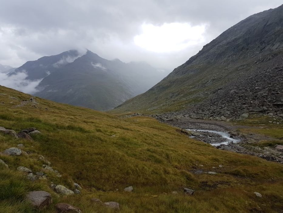

Tour Tag 2 - Königsetappe
Similaun-Hütte über Martin-Busch-Hütte zur Hochjochhospiz-Hütte (14 km mit ca. 1.000 Hm)
- Start an der Similaun Hütte (3.019m)
- Abstieg (500 Hm) im Niedertal zur Martin Busch Hütte (2.501 m)
- von hier Aufstieg zum Saykogel (3.395m) ca. 900Hm mit leichten Kletterpassagen, tw. mit Steilstufen
- Abstieg (1.000 Hm) von Seikogel in Rofental (2.300 m)
- Aufstieg (120 Hm) zur Hochjochhospiz Hütte (2.412 m)
##########
Hüttentour 2018:
4 Tages-Tour mit 3 Hüttenübernachtungen
Tour 1 - Aufstieg: Vernagt zur Similaun Hütte
Tour 2 - Sinilaun Hütte zur Hochjjochhospiz Hütte (Königsetappe)
Tour 3 - Mittlere Guslarspitze
Tour 4 - Hochjochhospiz Hütte zur Schöne Aussicht Hütte
Tour 5 - Abstieg: Schöne Aussicht Hütte nach Vernagt
Galeria trasy


Mapa trasy i profil wysokości
Minimum height 2256 m
Maximum height 3265 m
More about the tour author
|
|
Stummi |
Komentarze

GPS tracks
Trackpoints-
GPX / Garmin Map Source (gpx) download
-
TCX / Garmin Training Center® (tcx) download
-
CRS / Garmin Training Center® (crs) download
-
Google Earth (kml) download
-
G7ToWin (g7t) download
-
TTQV (trk) download
-
Overlay (ovl) download
-
Fugawi (txt) download
-
Kompass (DAV) Track (tk) download
-
Karta trasy (pdf) download
-
Original file of the author (gpx) download
More about the tour author
|
|
Stummi |
Add to my favorites
Remove from my favorites
Edit tags
Open track
My score
Rate